Elmadağ, Ankara, Türkiye
District guide

Elmadağ

Elmadağ is a district of Ankara.

Province: Ankara 45,644 Population 30 Neighbourhoods

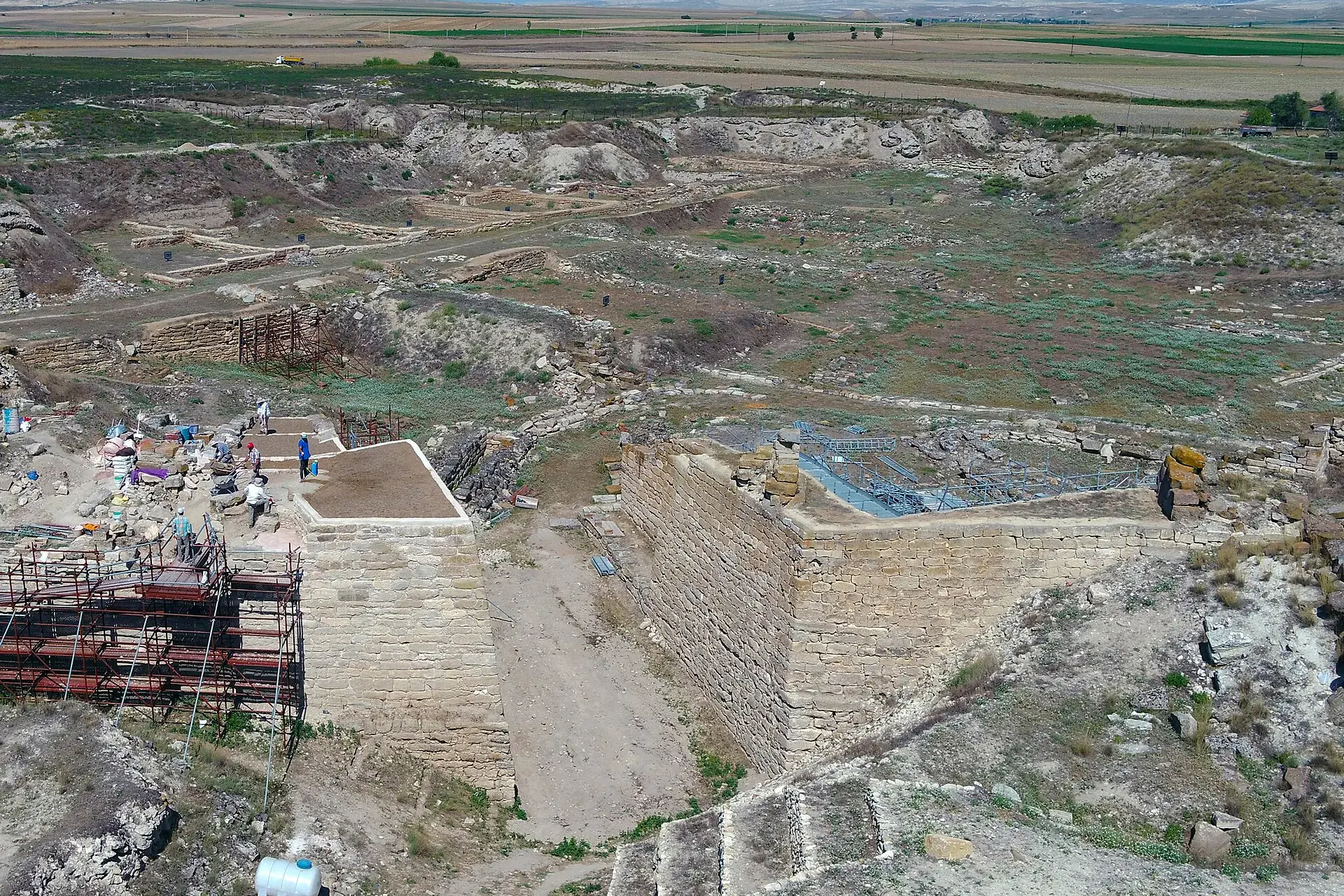
Photo: Gordion Archive, Penn Museum · CC BY-SA 4.0

At a glance

Elmadağ

Elmadağ is a district of Ankara.

45,644Population
647km²
30Neighbourhoods
1,661Streets
Verify before you travel

This guide covers all 81 provinces, the World Heritage sites, local food, transport, emergency numbers and the small details that make a trip easier. It is written for foreign visitors and built from public records, official indexes and original research.

Opening hours, prices and transport change. Confirm details with the official venue before you go.

Sources: Sources & credits

Administrative boundaries, population and street counts come from public address and OpenStreetMap-derived datasets. Confirm local services with the municipality.

Province

Ankara

Ankara is the capital of the Republic and a city of museums, universities and wide boulevards. Anıtkabir, the Museum of Anatolian Civilizations and the old citadel tell different layers of the story, while the surrounding steppe hides Phrygian and Roman sites.

KaragölHamamönüAltınparkYörük DedeMta SerasıKuğulu ParkHatti AnıtıGöksu Parkı
Neighbourhoods and streets

Neighbourhoods

The list below shows the largest neighbourhoods by street count.

Hasanoğlan BahçelievlerMahalle
446 Streets
TatlıcaMahalle
149 Streets
Hasanoğlan HavuzbaşıMahalle
137 Streets
KurtuluşMahalle
126 Streets
Hasanoğlan FatihMahalle
107 Streets
LalabelMahalle
84 Streets
YenimahalleMahalle
73 Streets
Muzaffer EkşiMahalle
72 Streets
ŞehitlikMahalle
69 Streets
SeyitcemaliMahalle
55 Streets
ÜçevlerMahalle
55 Streets
İstasyonMahalle
42 Streets
Yeşildere FatihMahalle
41 Streets
İsmetpaşaMahalle
36 Streets
KemalpaşaMahalle
34 Streets
GümüşpalaMahalle
30 Streets
YenipınarMahalle
30 Streets
YeniceMahalle
24 Streets

+ 12 Neighbourhoods

Back to the province · Ankara

Use the guide offline
Install this guide on your phone for offline reading.

Install app