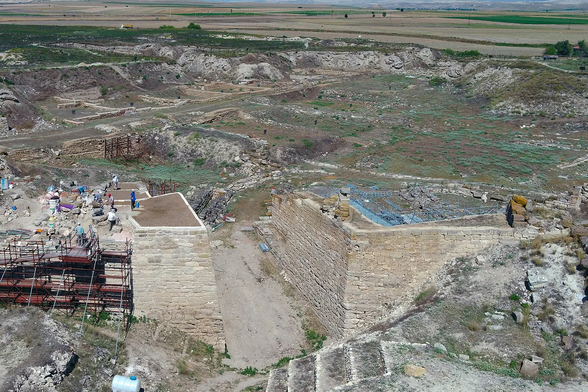
Ayaş
Ayaş is a district of Ankara.
Ayaş
Ayaş is a district of Ankara.
Ayaş is a municipality and district of Ankara Province, Turkey. Its area is 1,041 km2, and its population is 12,998 (2022). It is 58 km from the city of Ankara, and very rich for historical monuments. Its elevation is 910 m (2,986 ft). The district is known for its mulberry trees, tomatoes and its mineral water spas, both for drinking and bathing. There is an annual mulberry festival in the town of Ayaş. The town has a long history and is mentioned in folk songs and the journals of the traveller Evliya Çelebi. The citizens of Ayaş were Oghuz tribes as the village names Bayat, Afşar and Peçenek implies. In 1554, it became a sanjak center, and in 1864 it became a Kaza in Ankara Vilayeti. In Ottoman period, education was advanced in Ayaş.
Sources: Wikipedia · Ayaş · CC BY-SA 4.0
This guide covers all 81 provinces, the World Heritage sites, local food, transport, emergency numbers and the small details that make a trip easier. It is written for foreign visitors and built from public records, official indexes and original research.
Opening hours, prices and transport change. Confirm details with the official venue before you go.
Sources: Sources & credits
Administrative boundaries, population and street counts come from public address and OpenStreetMap-derived datasets. Confirm local services with the municipality.
Ankara
Ankara is the capital of the Republic and a city of museums, universities and wide boulevards. Anıtkabir, the Museum of Anatolian Civilizations and the old citadel tell different layers of the story, while the surrounding steppe hides Phrygian and Roman sites.
Neighbourhoods
The list below shows the largest neighbourhoods by street count.
+ 15 Neighbourhoods