Bala
Bala is a district of Ankara.
Bala
Bala is a district of Ankara.
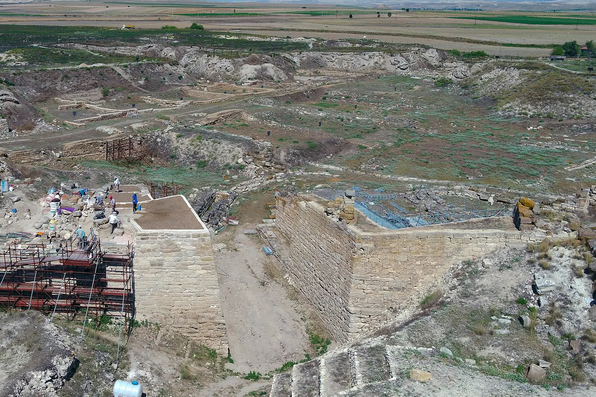
Bala (also: Balâ) is a municipality and district of Ankara Province, Turkey. Its area is 1,851 km2, and its population is 20,521 (2022). It is 67 km south-east of the city centre of Ankara. Its elevation is 1,310 m (4,298 ft). Bala stands on a high plain, summers are hot, winters are cold and snowy. The town of Bala is small but busy with shops and light manufacturing workshops, the surrounding countryside is used for farming, especially grains and sunflower seeds. Recently Ankara's wealthier citizens have begun building luxury housing in some villages of Bala. However the town stands on a fault line and experiences many earthquakes.
Sources: Wikipedia · Bala, Ankara · CC BY-SA 4.0
This guide covers all 81 provinces, the World Heritage sites, local food, transport, emergency numbers and the small details that make a trip easier. It is written for foreign visitors and built from public records, official indexes and original research.
Opening hours, prices and transport change. Confirm details with the official venue before you go.
Sources: Sources & credits
Administrative boundaries, population and street counts come from public address and OpenStreetMap-derived datasets. Confirm local services with the municipality.
Ankara
Ankara is the capital of the Republic and a city of museums, universities and wide boulevards. Anıtkabir, the Museum of Anatolian Civilizations and the old citadel tell different layers of the story, while the surrounding steppe hides Phrygian and Roman sites.
Neighbourhoods
The list below shows the largest neighbourhoods by street count.
+ 38 Neighbourhoods