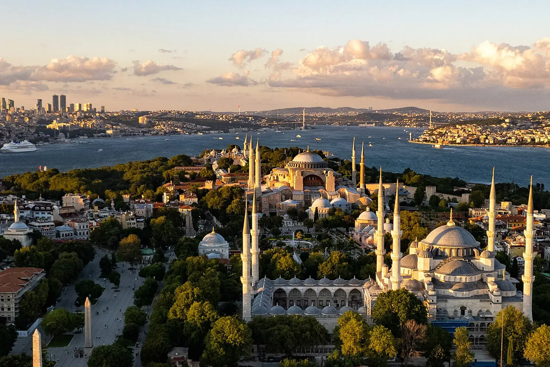
Fatih
Fatih is a district of İstanbul.
Fatih
Fatih is a district of İstanbul.
Fatih (Turkish pronunciation: [ˈfaːtih]) or the Historical peninsula (in Turkish: Tarihi Yarımada), is a municipality and district of Istanbul Province, Turkey. Its area is 15 km2 (5. 8 sq mi), and its population is 368,227 as of 2022. It is home to almost all of the provincial authorities (including the mayor's office, police headquarters, metropolitan municipality and tax office) but not the courthouse. It encompasses the historical peninsula, coinciding with old Constantinople. In 2009, the district of Eminönü, which had been a separate municipality located at the tip of the peninsula, was once again remerged into Fatih because of its small population.
Sources: Wikipedia · Fatih · CC BY-SA 4.0
This guide covers all 81 provinces, the World Heritage sites, local food, transport, emergency numbers and the small details that make a trip easier. It is written for foreign visitors and built from public records, official indexes and original research.
Opening hours, prices and transport change. Confirm details with the official venue before you go.
Sources: Sources & credits
Administrative boundaries, population and street counts come from public address and OpenStreetMap-derived datasets. Confirm local services with the municipality.
İstanbul
Istanbul is the meeting point of Europe and Asia, with the Bosphorus running through the middle. Hagia Sophia, Topkapı Palace, the bazaars, ferries and neighbourhood food culture make it a city that rewards both a short visit and a long stay.
Neighbourhoods
The list below shows the largest neighbourhoods by street count.
+ 39 Neighbourhoods