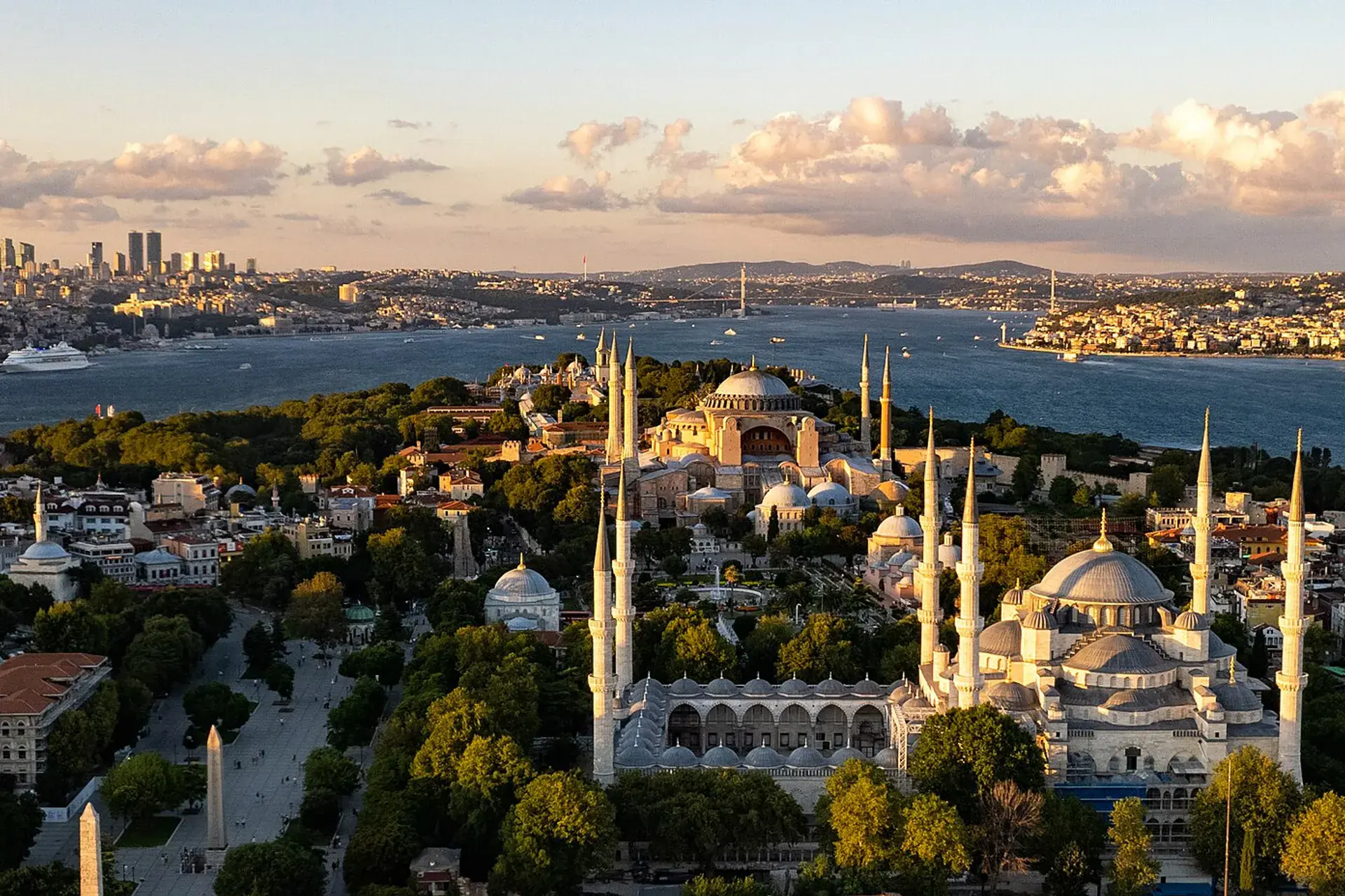
Arnavutköy, İstanbul, Türkiye
District guide

Arnavutköy

Arnavutköy is a district of İstanbul.

Province: İstanbul 358,469 Population 38 Neighbourhoods

Photo: Hunanuk · CC0

At a glance

Arnavutköy

Arnavutköy is a district of İstanbul.

358,469Population
453km²
38Neighbourhoods
4,831Streets
Verify before you travel

This guide covers all 81 provinces, the World Heritage sites, local food, transport, emergency numbers and the small details that make a trip easier. It is written for foreign visitors and built from public records, official indexes and original research.

Opening hours, prices and transport change. Confirm details with the official venue before you go.

Sources: Sources & credits

Administrative boundaries, population and street counts come from public address and OpenStreetMap-derived datasets. Confirm local services with the municipality.

Province

İstanbul

Istanbul is the meeting point of Europe and Asia, with the Bosphorus running through the middle. Hagia Sophia, Topkapı Palace, the bazaars, ferries and neighbourhood food culture make it a city that rewards both a short visit and a long stay.

AğvaBalatBüyükadaMiniatürkYeni CamiKız KulesiGalataportKapalıçarşı
Neighbourhoods and streets

Neighbourhoods

The list below shows the largest neighbourhoods by street count.

HadımköyMahalle
351 Streets
Yavuz SelimMahalle
277 Streets
HaraççıMahalle
258 Streets
AnadoluMahalle
246 Streets
İslambeyMahalle
233 Streets
KaraburunMahalle
204 Streets
Mareşal Fevzi ÇakmakMahalle
196 Streets
TaşolukMahalle
195 Streets
Mustafa Kemal PaşaMahalle
192 Streets
İmrahorMahalle
185 Streets
FatihMahalle
166 Streets
Mehmet Akif ErsoyMahalle
153 Streets
Arnavutköy MerkezMahalle
148 Streets
NenehatunMahalle
144 Streets
MavigölMahalle
134 Streets
KarlıbayırMahalle
133 Streets
Boğazköy İstiklalMahalle
131 Streets
YeniköyMahalle
125 Streets

+ 20 Neighbourhoods

Back to the province · İstanbul

Use the guide offline
Install this guide on your phone for offline reading.

Install app