Bağcılar
Bağcılar is a district of İstanbul.
Bağcılar
Bağcılar is a district of İstanbul.
Bağcılar is a municipality and district of Istanbul Province, Turkey. Its area is 23 km2, and its population is 740,069 (2022). It is located on the European side of Istanbul, near the city centre, just north of Bahçelievler, between the two major ring roads, TEM and D100 (formerly E5). The district is the fourth most populous in the Istanbul Municipality. Bağcılar developed rapidly between the 1970s and 1990s and is primarily residential in nature. The neighborhood is served by the Istanbul Metro and the T1 line of the Istanbul Tram. The mayor is Yasin Yıldız from the Justice and Development Party, elected in January 2025.
Sources: Wikipedia · Bağcılar · CC BY-SA 4.0
This guide covers all 81 provinces, the World Heritage sites, local food, transport, emergency numbers and the small details that make a trip easier. It is written for foreign visitors and built from public records, official indexes and original research.
Opening hours, prices and transport change. Confirm details with the official venue before you go.
Sources: Sources & credits
Administrative boundaries, population and street counts come from public address and OpenStreetMap-derived datasets. Confirm local services with the municipality.
İstanbul
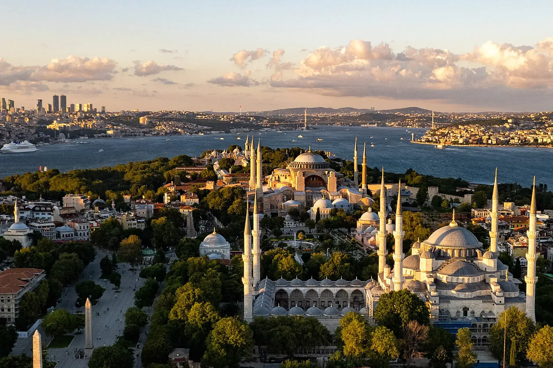
Istanbul is the meeting point of Europe and Asia, with the Bosphorus running through the middle. Hagia Sophia, Topkapı Palace, the bazaars, ferries and neighbourhood food culture make it a city that rewards both a short visit and a long stay.
Neighbourhoods
The list below shows the largest neighbourhoods by street count.
+ 4 Neighbourhoods