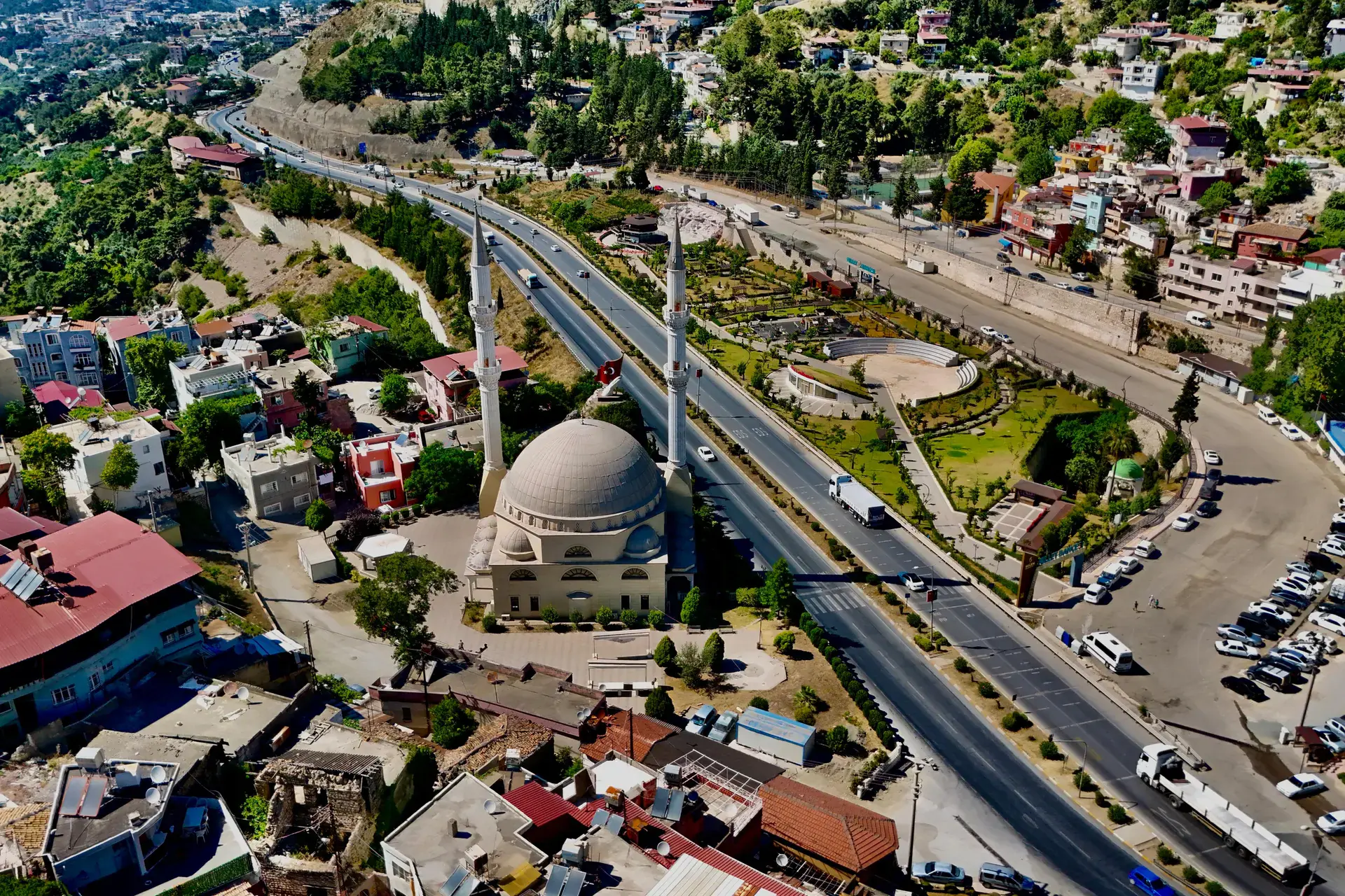
Hassa
Hassa is a district of Hatay.
Hassa
Hassa is a district of Hatay.
Hassa is a municipality and district of Hatay Province, Turkey. Its area is 520 km2, and its population is 56,675 (2022). It is on the eastern side of the Nur (Amanos) Mountains, looking towards the city of Gaziantep. It is on the Antakya-Malatya road. In the late 19th and early 20th century, Hassa was part of the Adana Vilayet of the Ottoman Empire. Its inhabitants were predominantly Yoruk Turkmens. Hassa was a district in Cebel-i Bereket Province from 1923 to 1933 and then a part of Gaziantep Province until 1939. Hassa is an olive-growing district. The olive trees were first brought there by Ottoman governor Derviş Paşa in the late 19th century.
Sources: Wikipedia · Hassa, Hatay · CC BY-SA 4.0
This guide covers all 81 provinces, the World Heritage sites, local food, transport, emergency numbers and the small details that make a trip easier. It is written for foreign visitors and built from public records, official indexes and original research.
Opening hours, prices and transport change. Confirm details with the official venue before you go.
Sources: Sources & credits
Administrative boundaries, population and street counts come from public address and OpenStreetMap-derived datasets. Confirm local services with the municipality.
Hatay
Hatay is a Mediterranean province of layered religions, languages and food. Antakya's mosaics, St. Pierre Church, the künefe tradition and the Orontes river give it a character found nowhere else in Türkiye.
Neighbourhoods
The list below shows the largest neighbourhoods by street count.
+ 22 Neighbourhoods