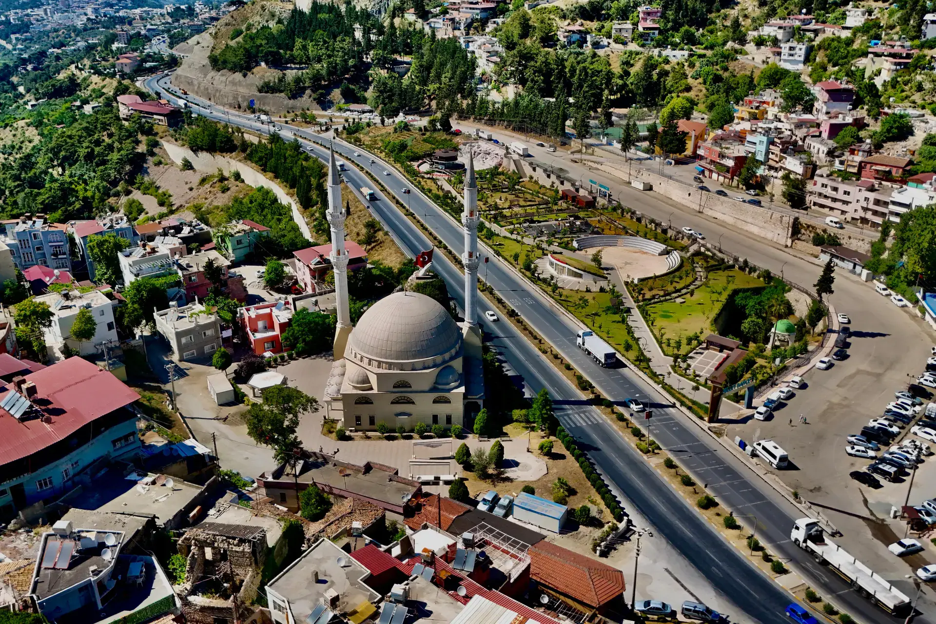
Antakya
Antakya is a district of Hatay.
Antakya
Antakya is a district of Hatay.
Antakya (Turkish pronunciation: [anˈtakja]), Turkish form of Antioch, is a municipality and the capital district of Hatay Province, Turkey, with an area of 703 km2 (271 sq mi) and a population of around 400,000 people as of 2022. It is in the Hatay Province, which is the southernmost region of Turkey. The city is located in a well-watered and fertile valley on the Orontes River, about 20 kilometres (12 mi) from the Levantine Sea. Today's city stands partly on the site of the ancient Antiochia (also known as "Antioch on the Orontes"), which was founded in the fourth century BC by the Seleucid Empire. Antioch later became one of the Roman Empire's largest cities and was made the capital of the provinces of Syria and Coele-Syria.
Sources: Wikipedia · Antakya · CC BY-SA 4.0
This guide covers all 81 provinces, the World Heritage sites, local food, transport, emergency numbers and the small details that make a trip easier. It is written for foreign visitors and built from public records, official indexes and original research.
Opening hours, prices and transport change. Confirm details with the official venue before you go.
Sources: Sources & credits
Administrative boundaries, population and street counts come from public address and OpenStreetMap-derived datasets. Confirm local services with the municipality.
Hatay
Hatay is a Mediterranean province of layered religions, languages and food. Antakya's mosaics, St. Pierre Church, the künefe tradition and the Orontes river give it a character found nowhere else in Türkiye.
Neighbourhoods
The list below shows the largest neighbourhoods by street count.
+ 77 Neighbourhoods