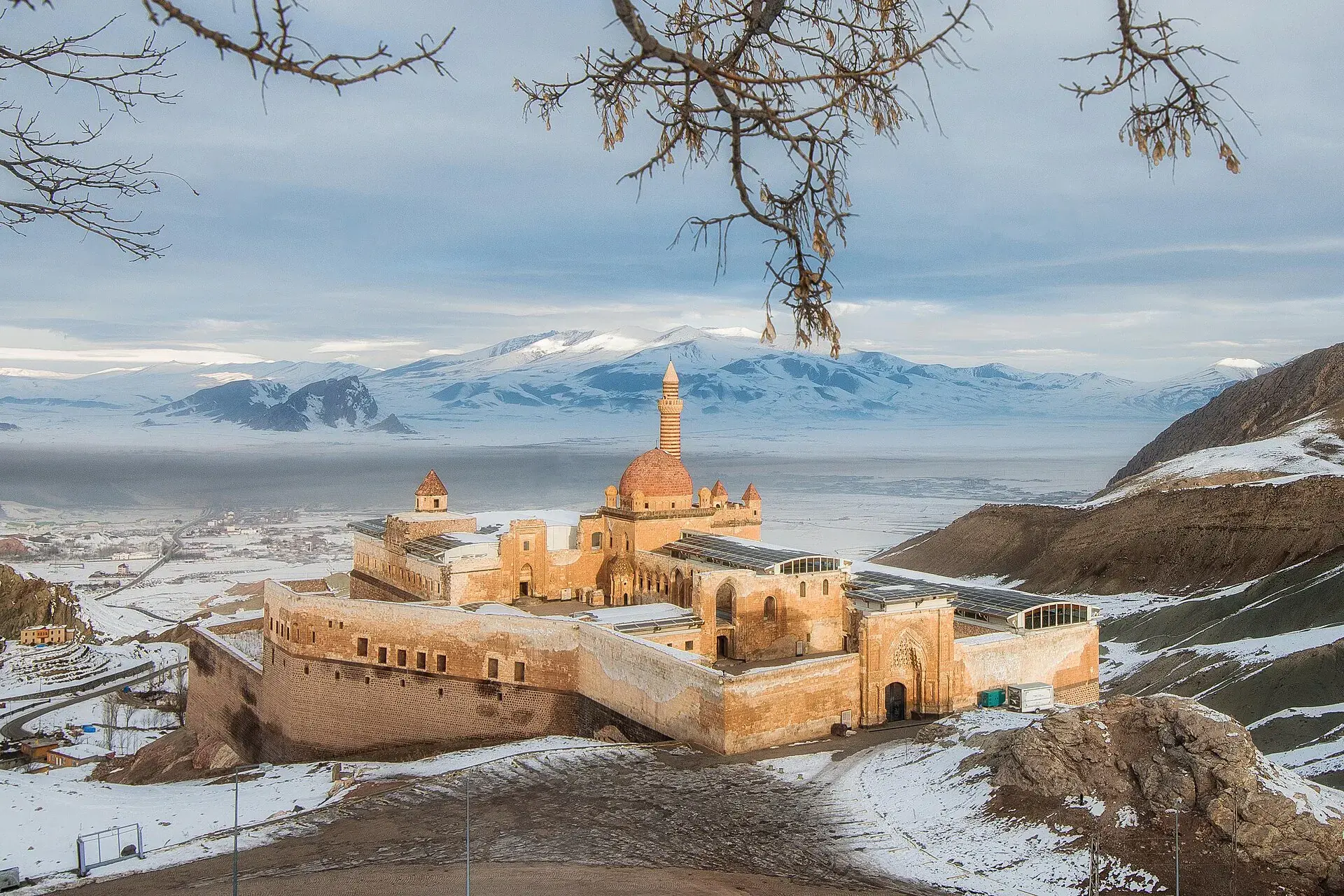
Merkez, Ağrı, Türkiye
District guide

Merkez

Merkez is a district of Ağrı.

Province: Ağrı 150,035 Population 18 Neighbourhoods

Photo: Volcanicaa · CC BY-SA 4.0

At a glance

Merkez

Merkez is a district of Ağrı.

150,035Population
1,695km²
18Neighbourhoods
1,459Streets
Verify before you travel

This guide covers all 81 provinces, the World Heritage sites, local food, transport, emergency numbers and the small details that make a trip easier. It is written for foreign visitors and built from public records, official indexes and original research.

Opening hours, prices and transport change. Confirm details with the official venue before you go.

Sources: Sources & credits

Administrative boundaries, population and street counts come from public address and OpenStreetMap-derived datasets. Confirm local services with the municipality.

Province

Ağrı

Ağrı is dominated by Mount Ararat, Türkiye's highest peak, and the wide plains around Doğubayazıt. The İshak Pasha Palace, a dramatic Ottoman complex below the mountain, is one of eastern Anatolia's most photographed monuments.

Ağrı DağıBalık GölüBuz MağarasıMeteor ÇukuruNuh'un GemisiHamur KümbetiKudret KöprüsüDiyadin Kanyonu
Neighbourhoods and streets

Neighbourhoods

The list below shows the largest neighbourhoods by street count.

FıratMahalle
191 Streets
Mehmet Akif ErsoyMahalle
184 Streets
FatihMahalle
155 Streets
Kazım KarabekirMahalle
120 Streets
AbideMahalle
108 Streets
100.YılMahalle
93 Streets
Leylek PınarMahalle
71 Streets
CumhuriyetMahalle
48 Streets
GaziMahalle
48 Streets
MuratMahalle
46 Streets
AlpaslanMahalle
45 Streets
SıtkıyeMahalle
38 Streets
YavuzMahalle
34 Streets
KurtuluşMahalle
31 Streets
BahçelievlerMahalle
29 Streets
HürriyetMahalle
24 Streets
Fevzi ÇakmakMahalle
21 Streets
Ağrı OSBMevki
17 Streets

+ 129 Neighbourhoods

Back to the province · Ağrı

Use the guide offline
Install this guide on your phone for offline reading.

Install app