Doğubayazıt
Doğubayazıt is a district of Ağrı.
Doğubayazıt
Doğubayazıt is a district of Ağrı.
Doğubayazıt (Kurdish: Bazîd; Armenian: Պայազատ, romanized: Payazat or Դարոյնք, Daruynk) is a town in Ağrı Province of Turkey, near the border with Iran. Its elevation is 1625 m. It is the seat of Doğubayazıt District. Its population is 80,061 (2021). Also known as Kurdava, the town was the capital of the self-declared Republic of Ararat, a short-lived Kurdish state centered in the Ağrı Province. It has a Kurdish majority.
Sources: Wikipedia · Doğubayazıt · CC BY-SA 4.0
This guide covers all 81 provinces, the World Heritage sites, local food, transport, emergency numbers and the small details that make a trip easier. It is written for foreign visitors and built from public records, official indexes and original research.
Opening hours, prices and transport change. Confirm details with the official venue before you go.
Sources: Sources & credits
Administrative boundaries, population and street counts come from public address and OpenStreetMap-derived datasets. Confirm local services with the municipality.
Ağrı
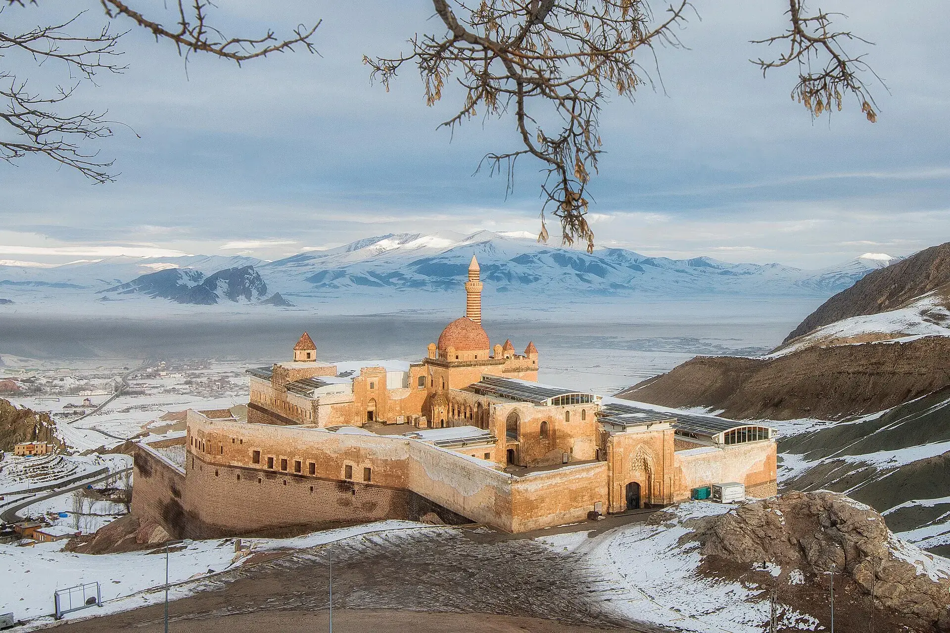
Ağrı is dominated by Mount Ararat, Türkiye's highest peak, and the wide plains around Doğubayazıt. The İshak Pasha Palace, a dramatic Ottoman complex below the mountain, is one of eastern Anatolia's most photographed monuments.
Neighbourhoods
The list below shows the largest neighbourhoods by street count.
+ 132 Neighbourhoods