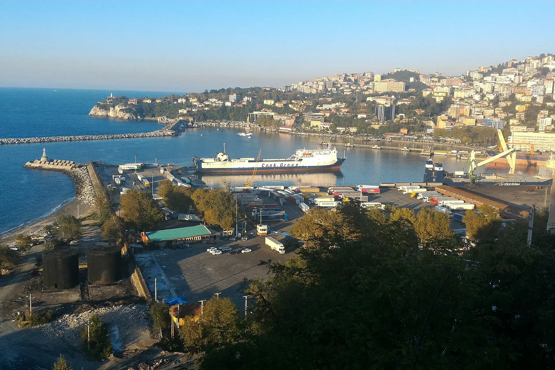
Ereğli, Zonguldak, Türkiye
District guide

Ereğli

Ereğli is a district of Zonguldak.

Province: Zonguldak 173,884 Population 44 Neighbourhoods

Photo: İncelemeelemani · CC BY-SA 4.0

At a glance

Ereğli

Ereğli is a district of Zonguldak.

173,884Population
736km²
44Neighbourhoods
1,133Streets
Verify before you travel

This guide covers all 81 provinces, the World Heritage sites, local food, transport, emergency numbers and the small details that make a trip easier. It is written for foreign visitors and built from public records, official indexes and original research.

Opening hours, prices and transport change. Confirm details with the official venue before you go.

Sources: Sources & credits

Administrative boundaries, population and street counts come from public address and OpenStreetMap-derived datasets. Confirm local services with the municipality.

Province

Zonguldak

Zonguldak is a Black Sea province shaped by coal mining and a rugged coastline. The mining museum, the caves and the beaches around Ereğli and Alaplı give it a working-class identity with surprising natural corners.

Yeni CamiKapuz PlajıIlıksu PlajıFilyos KalesiBölüklü YaylaKozlu KilisesiGökgöl MağarasıUzun Mehmet Anıtı
Neighbourhoods and streets

Neighbourhoods

The list below shows the largest neighbourhoods by street count.

BağlıkMahalle
56 Streets
MüftüMahalle
53 Streets
MerkezMahalle
40 Streets
AkarcaMahalle
37 Streets
SarıkokmazMahalle
36 Streets
GökçelerMahalle
33 Streets
ArmutçukMahalle
32 Streets
SüleymanlarMahalle
32 Streets
KepezMahalle
30 Streets
OrhanlarMahalle
30 Streets
KışlaMahalle
28 Streets
ÖrencikMahalle
28 Streets
BekyeriMahalle
23 Streets
GeyikbeliMahalle
21 Streets
UzunmehmetMahalle
20 Streets
MurtazaMahalle
18 Streets
MerkezMahalle
17 Streets
MerkezMevki
17 Streets

+ 277 Neighbourhoods

Back to the province · Zonguldak

Use the guide offline
Install this guide on your phone for offline reading.

Install app