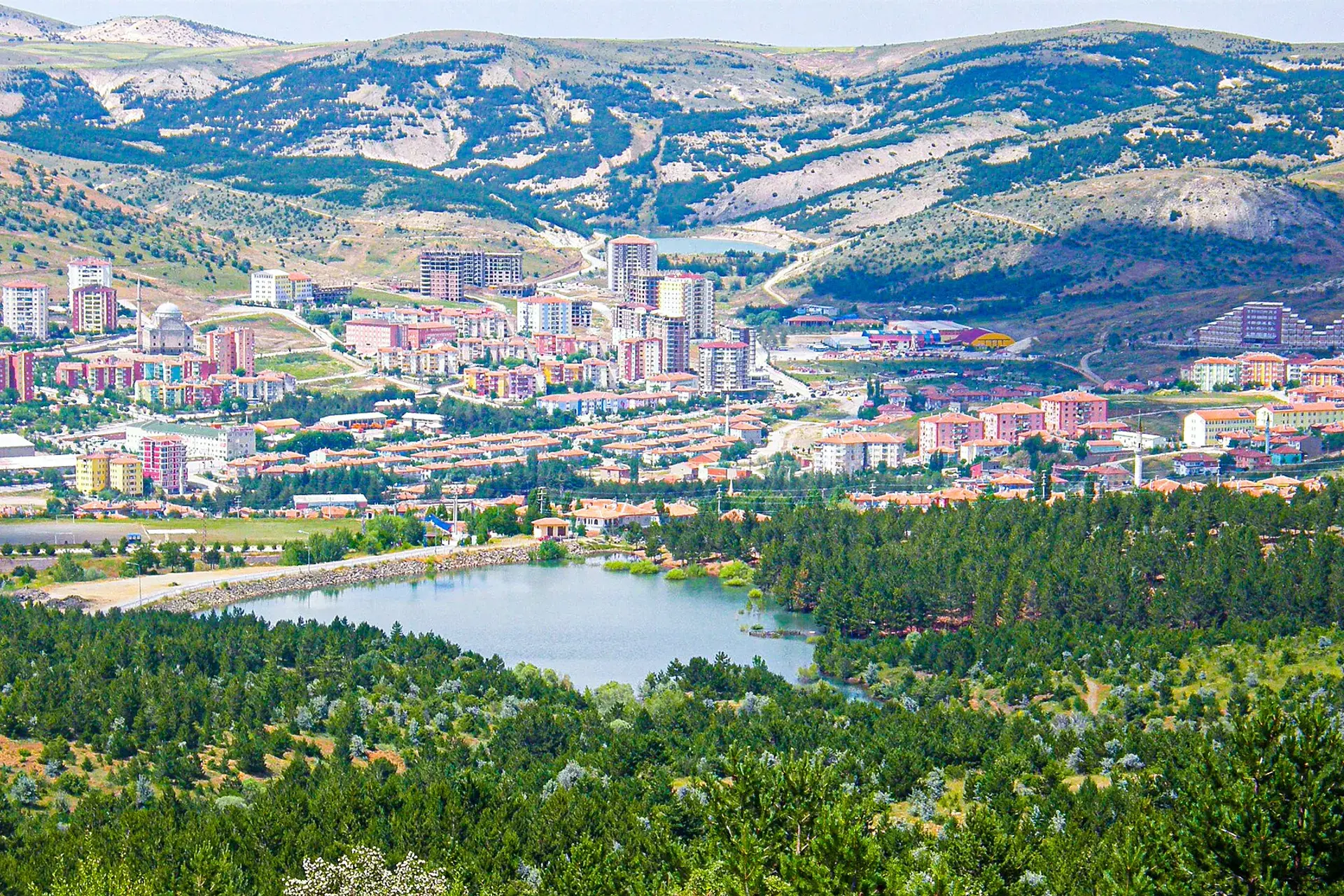
Çandır, Yozgat, Türkiye
District guide

Çandır

Çandır is a district of Yozgat.

Province: Yozgat 4,360 Population 10 Neighbourhoods

Photo: AHMET AKGÜL · CC BY 3.0

At a glance

Çandır

Çandır is a district of Yozgat.

4,360Population
205km²
10Neighbourhoods
171Streets
Verify before you travel

This guide covers all 81 provinces, the World Heritage sites, local food, transport, emergency numbers and the small details that make a trip easier. It is written for foreign visitors and built from public records, official indexes and original research.

Opening hours, prices and transport change. Confirm details with the official venue before you go.

Sources: Sources & credits

Administrative boundaries, population and street counts come from public address and OpenStreetMap-derived datasets. Confirm local services with the municipality.

Province

Yozgat

Yozgat is a Central Anatolian province of steppe, old mosques and quiet towns. The Çamlık park, the thermal springs and the local folk culture offer a slower, less visited side of the region.

Fatih CamiiKemer KöprüYozgat MüzesiBozok YaylasıTuzla KöprüsüYozgat LisesiHacı Ozan EviMusa Ağa Camii
Neighbourhoods and streets

Neighbourhoods

The list below shows the largest neighbourhoods by street count.

KarşıyakaMevki
18 Streets
AtatürkMahalle
17 Streets
NabioğluMahalle
17 Streets
EşrefpaşaMahalle
15 Streets
BarborosMahalle
13 Streets
CumhuriyetMahalle
13 Streets
KılıçlarMahalle
13 Streets
BahçelievlerMahalle
12 Streets
YenimeydanMahalle
12 Streets
ZaferMevki
11 Streets
Şah SultanMahalle
9 Streets
TandoğanMevki
9 Streets
Abdullah EfendiMahalle
7 Streets
GülpınarKöy
2 Streets
KozanKöy
2 Streets
İğdeliKöy
1 Streets
Back to the province · Yozgat

Use the guide offline
Install this guide on your phone for offline reading.

Install app