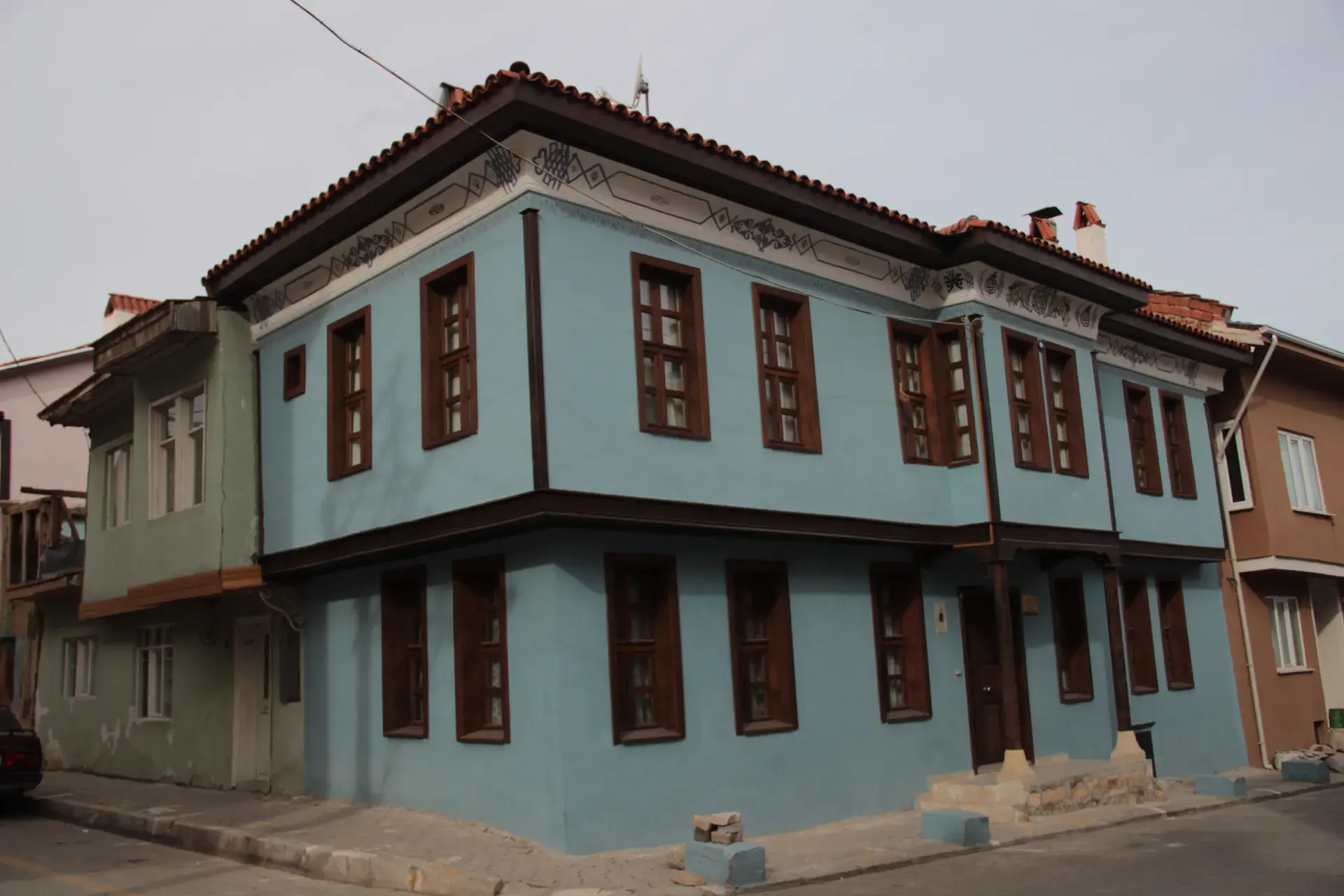
Karahallı
Karahallı is a district of Uşak.
Karahallı
Karahallı is a district of Uşak.
Karahallı is a town in Uşak Province in the inner Aegean region of Turkey. It is the seat of Karahallı District. Its population is 5,672 (2022). Karahallı is at a distance of 62 km (39 mi) from the province center of Uşak lying to its north. The name of the town makes reference to its founder, the 14th century Turkmen bey Kara Halil. The township was made into a district in 1953, simultaneous to the separation of Uşak Province from Kütahya Province, and Uşak's becoming a province seat. There is a recently built dam and its reservoir, which is arranged into a recreational area that stands out notably by the presence of an ancient bridge, possibly associated with the Lydians and the Persians, and the Royal Road, although research specific to the bridge is yet to be made.
Sources: Wikipedia · Karahallı · CC BY-SA 4.0
This guide covers all 81 provinces, the World Heritage sites, local food, transport, emergency numbers and the small details that make a trip easier. It is written for foreign visitors and built from public records, official indexes and original research.
Opening hours, prices and transport change. Confirm details with the official venue before you go.
Sources: Sources & credits
Administrative boundaries, population and street counts come from public address and OpenStreetMap-derived datasets. Confirm local services with the municipality.
Uşak
Uşak is an Aegean interior province known for carpets, archaeology and the Ulubey canyon. It is a practical stop between İzmir and Afyon, with a museum that holds the famous Karun treasure.
Neighbourhoods
The list below shows the largest neighbourhoods by street count.
+ 6 Neighbourhoods