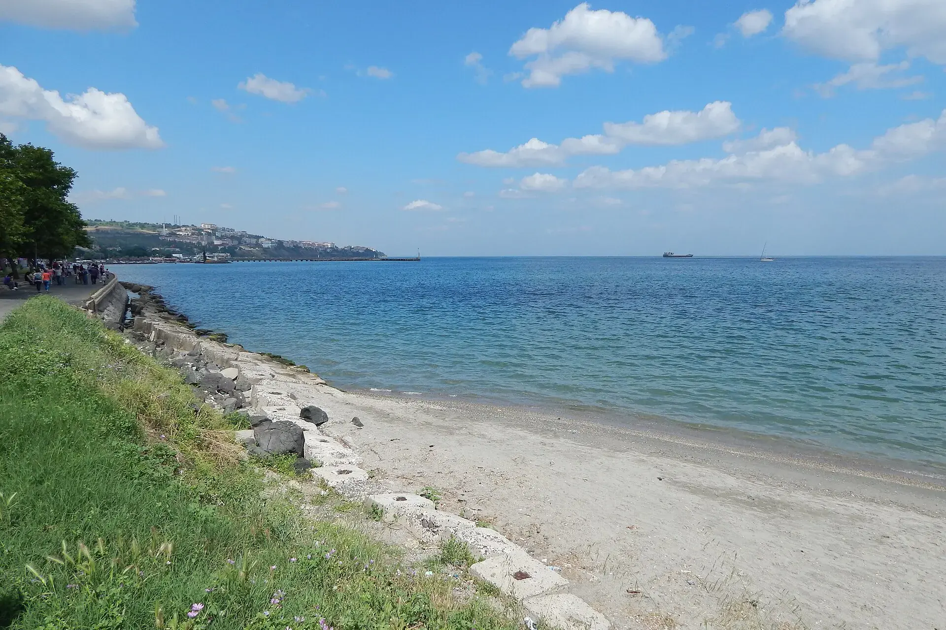
Marmaraereğlisi
Marmaraereğlisi is a district of Tekirdağ.
Marmaraereğlisi
Marmaraereğlisi is a district of Tekirdağ.
Marmara Ereğlisi (Turkish: [ˈmaɾmaɾa æɾeːlisi]; Greek: Ηράκλεια), also spelled Marmaraereğlisi, is a municipality and district of Tekirdağ Province, Turkey. Its area is 175 km2, and its population is 29,549 (2022).
Sources: Wikipedia · Marmara Ereğlisi · CC BY-SA 4.0
This guide covers all 81 provinces, the World Heritage sites, local food, transport, emergency numbers and the small details that make a trip easier. It is written for foreign visitors and built from public records, official indexes and original research.
Opening hours, prices and transport change. Confirm details with the official venue before you go.
Sources: Sources & credits
Administrative boundaries, population and street counts come from public address and OpenStreetMap-derived datasets. Confirm local services with the municipality.
Tekirdağ
Tekirdağ is a Marmara province of vineyards, sunflower fields and a long coastline. Its köfte, rakı and wine culture are well known, and the Sea of Marmara gives it easy access from Istanbul.
Neighbourhoods
The list below shows the largest neighbourhoods by street count.