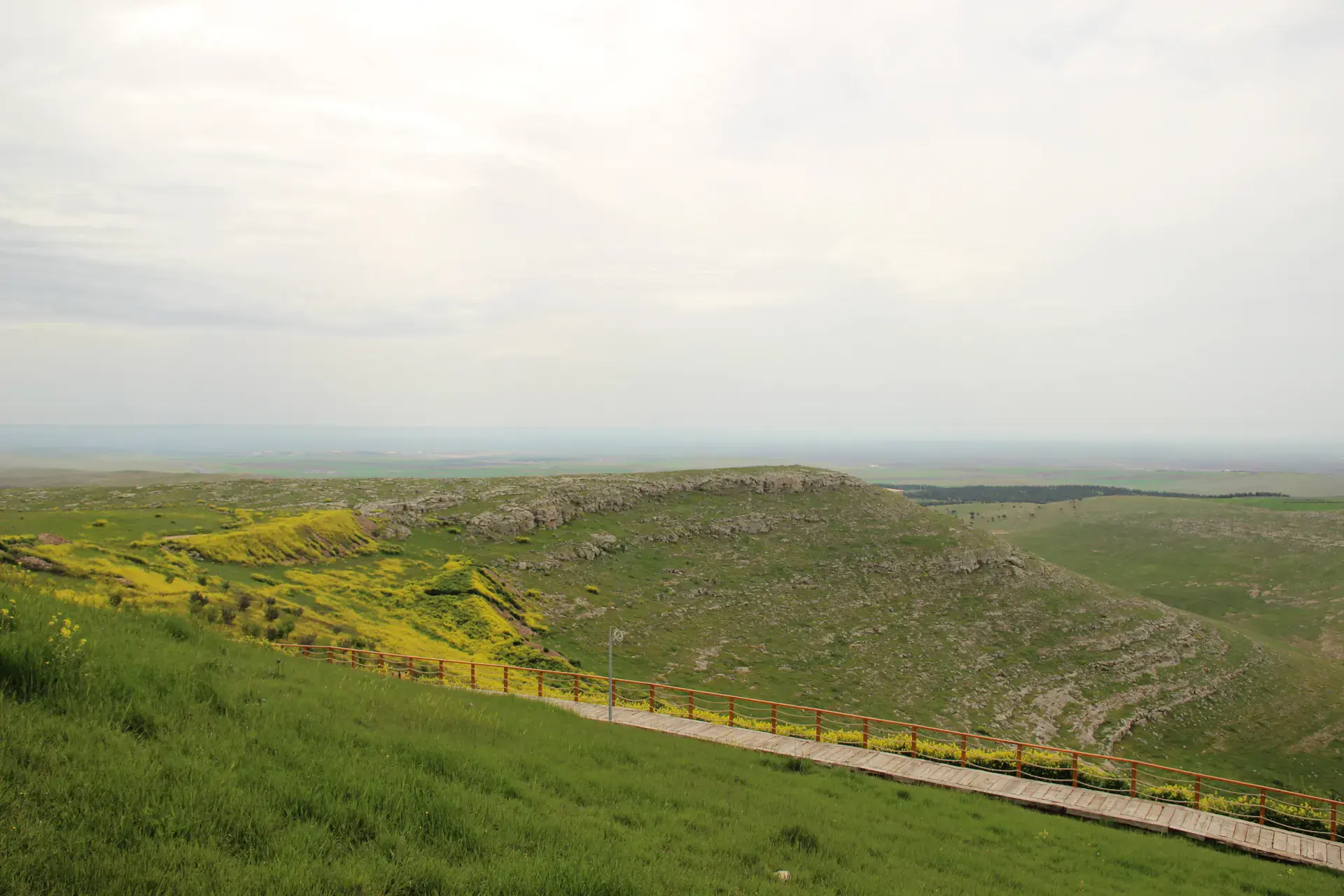
Harran, Şanlıurfa, Türkiye
District guide

Harran

Harran is a district of Şanlıurfa.

Province: Şanlıurfa 101,710 Population 142 Neighbourhoods

Photo: Hamdigumus · CC0

At a glance

Harran

Harran is a district of Şanlıurfa.

101,710Population
904km²
142Neighbourhoods
887Streets
Verify before you travel

This guide covers all 81 provinces, the World Heritage sites, local food, transport, emergency numbers and the small details that make a trip easier. It is written for foreign visitors and built from public records, official indexes and original research.

Opening hours, prices and transport change. Confirm details with the official venue before you go.

Sources: Sources & credits

Administrative boundaries, population and street counts come from public address and OpenStreetMap-derived datasets. Confirm local services with the municipality.

Province

Şanlıurfa

Şanlıurfa is a city of prophets, pilgrims and some of the world's oldest monumental architecture. Göbeklitepe and Balıklıgöl are the headline sites, while isot pepper, lahmacun and the bazaar culture define daily life.

HalfetiUlu CamiiBalıklıgölArabi CamiÇakeri CamiUrfa KalesiTuzeken CamiKadıoğlu Cami
Neighbourhoods and streets

Neighbourhoods

The list below shows the largest neighbourhoods by street count.

Süleyman DemirelMahalle
116 Streets
Selahaddin EyyubiMahalle
105 Streets
CumhuriyetMahalle
95 Streets
Hz. YakupMahalle
55 Streets
İmambakır (Merkez)Mahalle
51 Streets
Şeyh Hayati HarraniMahalle
39 Streets
İbni TeymiyeMahalle
25 Streets
SehrinceMahalle
20 Streets
BüyüktürbeMahalle
17 Streets
BellitaşMahalle
12 Streets
GöktaşMahalle
12 Streets
YedikardeşMahalle
8 Streets
BüyüktaşlıcaMahalle
7 Streets
KuruyerMahalle
7 Streets
ArınMahalle
6 Streets
CeylangözüMahalle
6 Streets
KaymaklıMahalle
6 Streets
KoyunlucaMahalle
6 Streets

+ 124 Neighbourhoods

Back to the province · Şanlıurfa

Use the guide offline
Install this guide on your phone for offline reading.

Install app