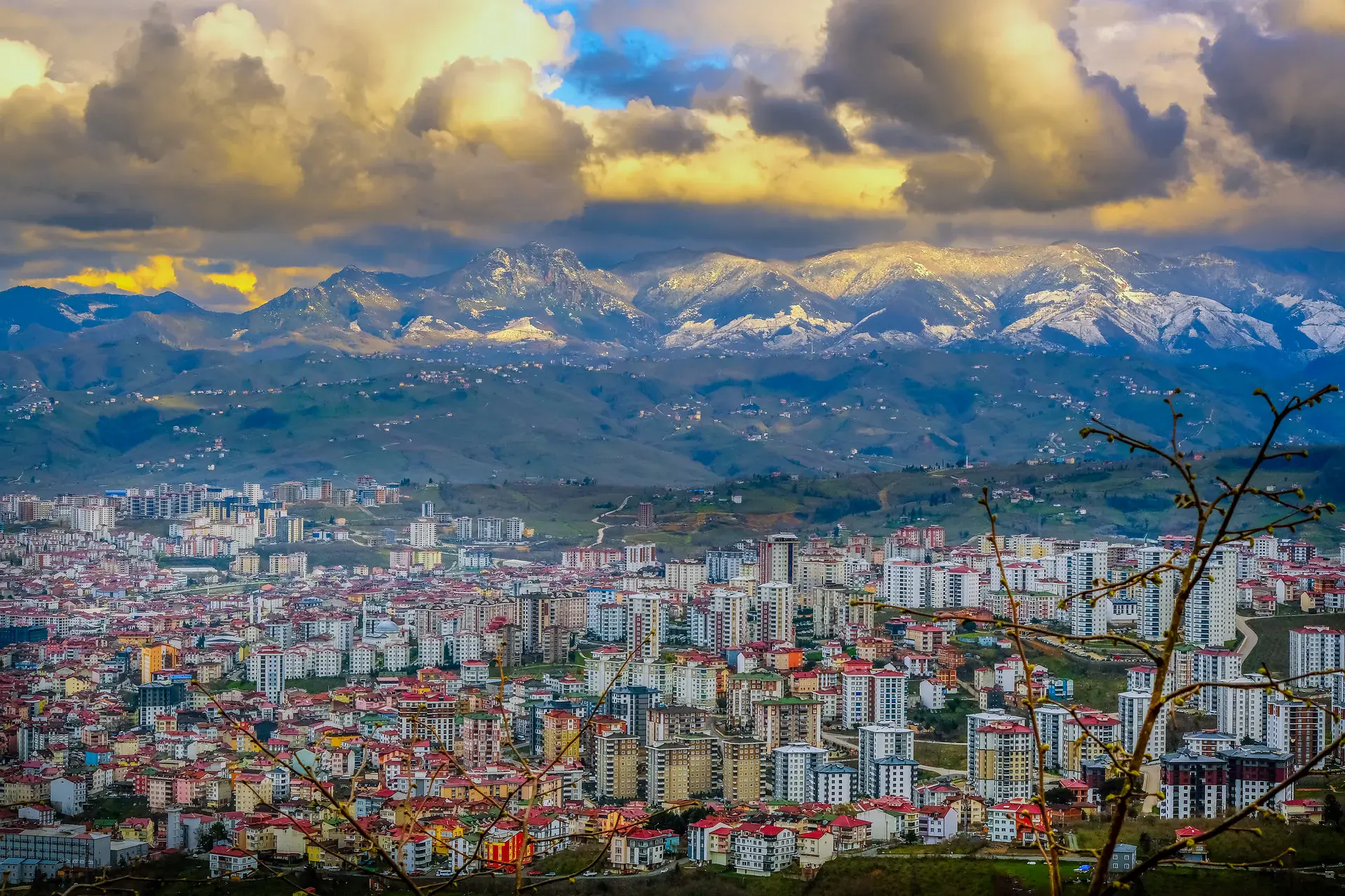
Gürgentepe
Gürgentepe is a district of Ordu.
Gürgentepe
Gürgentepe is a district of Ordu.
Gürgentepe (historically known as Hanyanı) is a settlement and district located at an elevation of approximately 1,275 meters (4072 ft) on the Ordu, Sivas highway (around the 48th km point) in Ordu Province. The region’s climate is strongly influenced by the Black Sea, bringing high humidity and frequent rainfall throughout the year. Its elevation and mountainous terrain enhance the orographic effect, making it one of the rainiest areas in the province.
Sources: Wikipedia · Gürgentepe · CC BY-SA 4.0
This guide covers all 81 provinces, the World Heritage sites, local food, transport, emergency numbers and the small details that make a trip easier. It is written for foreign visitors and built from public records, official indexes and original research.
Opening hours, prices and transport change. Confirm details with the official venue before you go.
Sources: Sources & credits
Administrative boundaries, population and street counts come from public address and OpenStreetMap-derived datasets. Confirm local services with the municipality.
Ordu
Ordu is a Black Sea province of hazelnuts, green hills and long beaches. Boztepe's view over the coast, the plateaus behind the city and the local hazelnut and dairy products make it a pleasant, understated stop.
Neighbourhoods
The list below shows the largest neighbourhoods by street count.
+ 5 Neighbourhoods