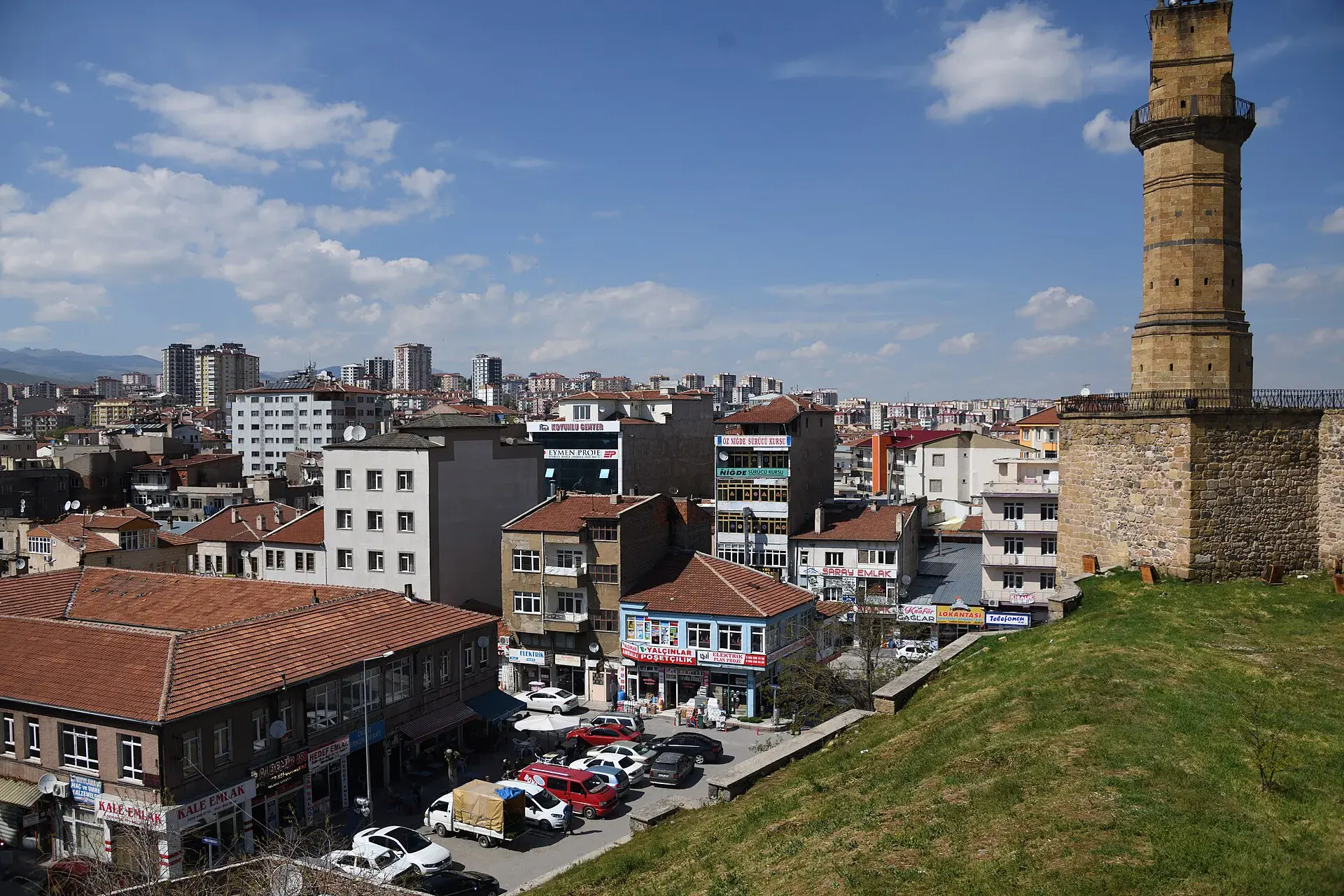
Bor, Niğde, Türkiye
District guide

Bor

Bor is a district of Niğde.

Province: Niğde 62,594 Population 23 Neighbourhoods

Photo: Dosseman · CC BY-SA 4.0

At a glance

Bor

Bor is a district of Niğde.

62,594Population
1,522km²
23Neighbourhoods
2,080Streets
Verify before you travel

This guide covers all 81 provinces, the World Heritage sites, local food, transport, emergency numbers and the small details that make a trip easier. It is written for foreign visitors and built from public records, official indexes and original research.

Opening hours, prices and transport change. Confirm details with the official venue before you go.

Sources: Sources & credits

Administrative boundaries, population and street counts come from public address and OpenStreetMap-derived datasets. Confirm local services with the municipality.

Province

Niğde

Niğde is a Central Anatolian province between the steppe and the Aladağlar mountains. It has Seljuk and Ottoman monuments, apple orchards and access to the quieter side of Cappadocia and the Ala Mountains.

Hanım CamiRoma HavuzuSırali CamiŞah MescidiNiğde KalesiNiğde MüzesiRum KilisesiCullaz Sokak
Neighbourhoods and streets

Neighbourhoods

The list below shows the largest neighbourhoods by street count.

ÇayırMahalle
164 Streets
CumhuriyetMevki
159 Streets
CumhuriyetMahalle
131 Streets
SelçukMahalle
115 Streets
TepeMahalle
111 Streets
BektikMahalle
107 Streets
BaşpınarMahalle
94 Streets
Türkmen YurduMahalle
94 Streets
CumhuriyetMahalle
93 Streets
Ahmet KuddusiMahalle
91 Streets
FatihMahalle
82 Streets
İftiyanMahalle
65 Streets
KemerMahalle
65 Streets
AcıgölMahalle
64 Streets
Yeni HarımMahalle
58 Streets
HanMahalle
53 Streets
OkullarMevki
53 Streets
CamiMevki
51 Streets

+ 36 Neighbourhoods

Back to the province · Niğde

Use the guide offline
Install this guide on your phone for offline reading.

Install app