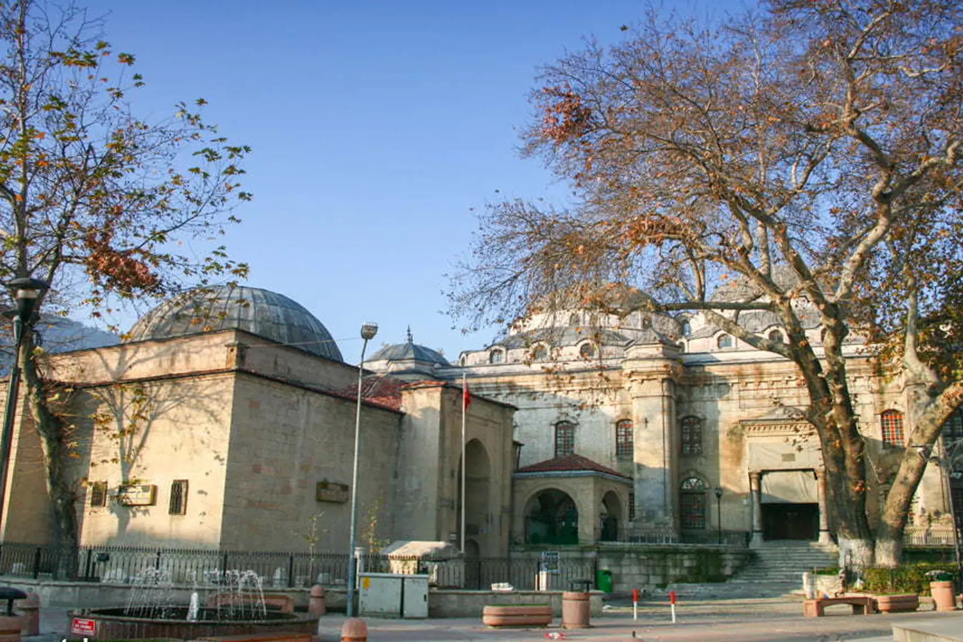
Emet, Kütahya, Türkiye
District guide

Emet

Emet is a district of Kütahya.

Province: Kütahya 17,352 Population 8 Neighbourhoods

Photo: Unknown authorUnknown author · Public domain

At a glance

Emet

Emet is a district of Kütahya.

17,352Population
951km²
8Neighbourhoods
1,211Streets
Verify before you travel

This guide covers all 81 provinces, the World Heritage sites, local food, transport, emergency numbers and the small details that make a trip easier. It is written for foreign visitors and built from public records, official indexes and original research.

Opening hours, prices and transport change. Confirm details with the official venue before you go.

Sources: Sources & credits

Administrative boundaries, population and street counts come from public address and OpenStreetMap-derived datasets. Confirm local services with the municipality.

Province

Kütahya

Kütahya is known for its tiles, ceramics and thermal springs. The old town, the Aizanoi Zeus temple and the Phrygian valleys give the province a craft and archaeology profile that is easy to explore from Ankara or Istanbul.

Ulu CamiMızık ÇamıÇini MüzesiYeşil CamiiÇinili CamiiMuvakkithaneGediz AbidesiKütahya Kalesi
Neighbourhoods and streets

Neighbourhoods

The list below shows the largest neighbourhoods by street count.

AkpınarMahalle
272 Streets
HamamMahalle
179 Streets
DereMahalle
106 Streets
EsentepeMahalle
93 Streets
YeniMevki
60 Streets
MerkezMevki
49 Streets
KapaklıcaMahalle
48 Streets
YıldırımMevki
42 Streets
CumhuriyetMahalle
41 Streets
CumhuriyetMevki
30 Streets
KaynarcaMahalle
28 Streets
ÇimenlikMevki
26 Streets
MeydanMevki
26 Streets
FatihMevki
25 Streets
DoğanlarKöy
22 Streets
ÇimenliMevki
20 Streets
AlipaşaMevki
19 Streets
CumhuriyetMevki
18 Streets

+ 38 Neighbourhoods

Back to the province · Kütahya

Use the guide offline
Install this guide on your phone for offline reading.

Install app