Altınekin
Altınekin is a district of Konya.
Altınekin
Altınekin is a district of Konya.
Altınekin is a municipality and district of Konya Province, Turkey. Its area is 1,312 km2, and its population is 14,289 (2022). Its original name was Zıvarık until the İnönü government changed its name in 1963, giving it the name of one of Zıvarık's plateaus, Altınekin ("golden crop"), named as such because of the land's fertility. The town is near the ancient Roman city of Pegella. During the medieval period under the Seljuk Turks, the town prospered as it lay on the Ankara, Konya trade route, the Seljuks building a caravanserai (known as the Zıvarık Han) in the 14th century, along with a wooden mosque. Both of these are in good condition today. Crimean Tatar refugees from Bağçasaray, Crimea were settled in the town in the early 1900s.
Sources: Wikipedia · Altınekin · CC BY-SA 4.0
This guide covers all 81 provinces, the World Heritage sites, local food, transport, emergency numbers and the small details that make a trip easier. It is written for foreign visitors and built from public records, official indexes and original research.
Opening hours, prices and transport change. Confirm details with the official venue before you go.
Sources: Sources & credits
Administrative boundaries, population and street counts come from public address and OpenStreetMap-derived datasets. Confirm local services with the municipality.
Konya
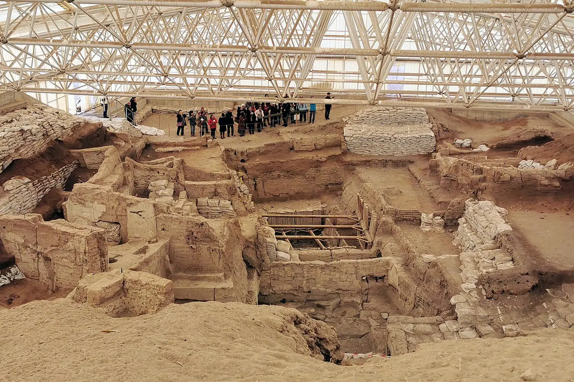
Konya is a vast Central Anatolian province and the home of Rumi's Mevlevi tradition. The Mevlana Museum, Seljuk architecture and the Neolithic site of Çatalhöyük are the cultural anchors, while the steppe stretches in every direction.
Neighbourhoods
The list below shows the largest neighbourhoods by street count.
+ 2 Neighbourhoods