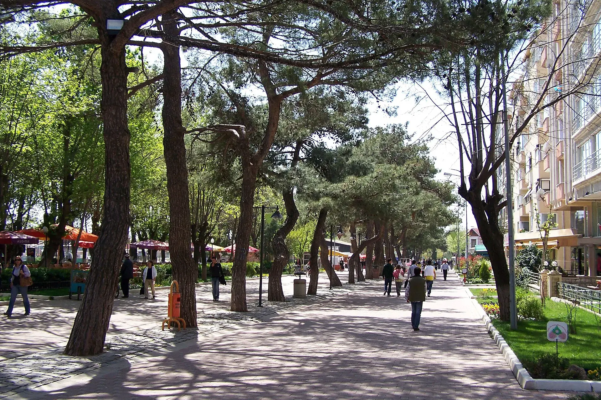
Merkez, Kırklareli, Türkiye
District guide

Merkez

Merkez is a district of Kırklareli.

Province: Kırklareli 114,710 Population 25 Neighbourhoods

Photo: User:Darwinek · CC BY-SA 3.0

At a glance

Merkez

Merkez is a district of Kırklareli.

114,710Population
1,623km²
25Neighbourhoods
2,226Streets
Verify before you travel

This guide covers all 81 provinces, the World Heritage sites, local food, transport, emergency numbers and the small details that make a trip easier. It is written for foreign visitors and built from public records, official indexes and original research.

Opening hours, prices and transport change. Confirm details with the official venue before you go.

Sources: Sources & credits

Administrative boundaries, population and street counts come from public address and OpenStreetMap-derived datasets. Confirm local services with the municipality.

Province

Kırklareli

Kırklareli is a Thracian province of vineyards, forests and the Black Sea. Its old quarter, the Dupnisa cave and the long beaches around İğneada make it a quiet alternative to the crowded Aegean and Mediterranean.

KıyıköyİğneadaTümülüslerKadı CamiiPaşa ÇeşmeKapan CamiiBeyazıt CamiiHızırbey Camii
Neighbourhoods and streets

Neighbourhoods

The list below shows the largest neighbourhoods by street count.

KarakaşMahalle
275 Streets
PınarMahalle
193 Streets
İstasyonMahalle
172 Streets
BademlikMahalle
161 Streets
KaracaibrahimMahalle
109 Streets
KarahıdırMahalle
105 Streets
Mehmet ÇavuşMahalle
105 Streets
TuristMahalle
92 Streets
Kemal PaşaMahalle
87 Streets
YaylaMahalle
87 Streets
AkalarMahalle
79 Streets
Cevat PaşaMahalle
79 Streets
GündoğduMahalle
71 Streets
KocahıdırMahalle
71 Streets
CumhuriyetMahalle
64 Streets
DemirtaşMahalle
55 Streets
AtatürkMahalle
51 Streets
CelaliyeMahalle
44 Streets

+ 49 Neighbourhoods

Back to the province · Kırklareli

Use the guide offline
Install this guide on your phone for offline reading.

Install app