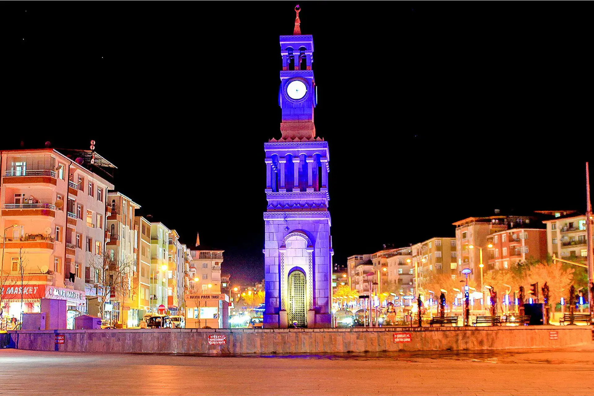
Yahşihan, Kırıkkale, Türkiye
District guide

Yahşihan

Yahşihan is a district of Kırıkkale.

Province: Kırıkkale 39,137 Population 10 Neighbourhoods

Photo: SAİT71 · CC BY-SA 3.0

At a glance

Yahşihan

Yahşihan is a district of Kırıkkale.

39,137Population
304km²
10Neighbourhoods
820Streets
Verify before you travel

This guide covers all 81 provinces, the World Heritage sites, local food, transport, emergency numbers and the small details that make a trip easier. It is written for foreign visitors and built from public records, official indexes and original research.

Opening hours, prices and transport change. Confirm details with the official venue before you go.

Sources: Sources & credits

Administrative boundaries, population and street counts come from public address and OpenStreetMap-derived datasets. Confirm local services with the municipality.

Province

Kırıkkale

Kırıkkale is an industrial province in Central Anatolia, with a history linked to the republic's early factories. It is a practical stop on the road between Ankara and the east, with a few local museums and green river valleys.

Tarihi EvlerÇeşnigir KöprüsüKarıştıran KilisesiBallı Camii Ve TürbesiCeritkale Kaya MezarlarıKoçubaba Camii Ve TürbesiHasandede Camii Ve TürbesiMke Kırıkkale Silah Müzesi
Neighbourhoods and streets

Neighbourhoods

The list below shows the largest neighbourhoods by street count.

YeşilözMevki
155 Streets
YenişehirMahalle
121 Streets
ErenlerMahalle
82 Streets
AlaaddinMahalle
55 Streets
BayraktepeMahalle
55 Streets
HacıbeyMahalle
47 Streets
SeyrantepeMahalle
46 Streets
KadıoğluMahalle
45 Streets
EmirlerMahalle
38 Streets
DoğanlıkMahalle
37 Streets
BattalgaziMevki
29 Streets
BoğaziçiMevki
23 Streets
FatihMevki
20 Streets
Yeşil VadiMahalle
15 Streets
SeyrantepeMevki
14 Streets
HacıbalıosbMevki
12 Streets
Köyönü MevkiiMevki
3 Streets
HacıbalıKöy
2 Streets

+ 19 Neighbourhoods

Back to the province · Kırıkkale

Use the guide offline
Install this guide on your phone for offline reading.

Install app