Merkez, Kastamonu, Türkiye
District guide

Merkez

Merkez is a district of Kastamonu.

Province: Kastamonu 158,953 Population 20 Neighbourhoods

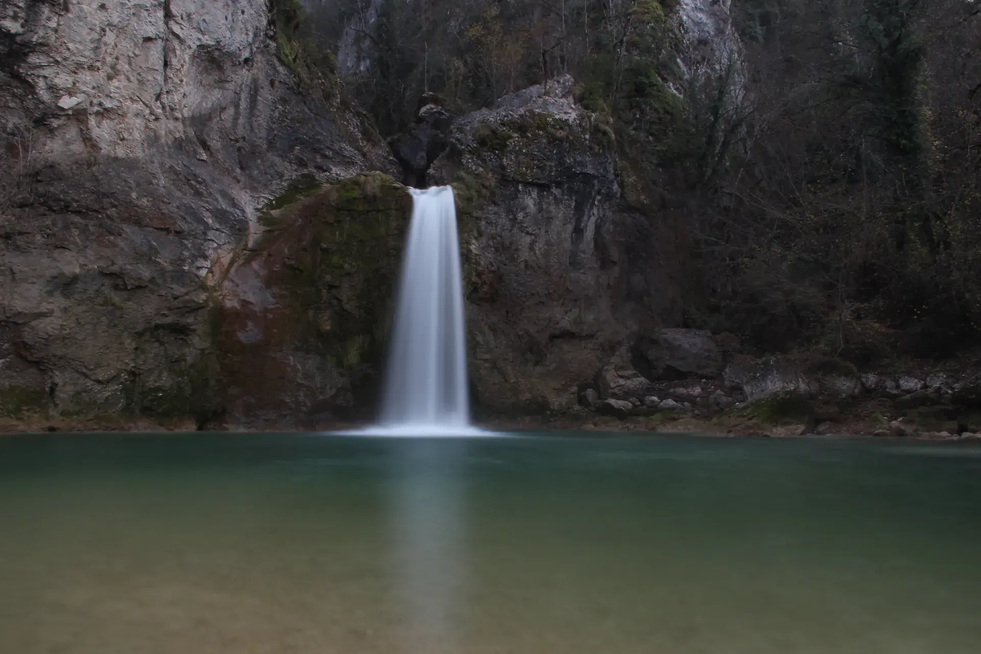
Photo: Hamdigumus · CC0

At a glance

Merkez

Merkez is a district of Kastamonu.

158,953Population
1,847km²
20Neighbourhoods
1,651Streets
Verify before you travel

This guide covers all 81 provinces, the World Heritage sites, local food, transport, emergency numbers and the small details that make a trip easier. It is written for foreign visitors and built from public records, official indexes and original research.

Opening hours, prices and transport change. Confirm details with the official venue before you go.

Sources: Sources & credits

Administrative boundaries, population and street counts come from public address and OpenStreetMap-derived datasets. Confirm local services with the municipality.

Province

Kastamonu

Kastamonu is an Ottoman town surrounded by forests in the western Black Sea. Its old houses, mosques and bazaar are the centrepiece, while Ilgaz, Daday and the surrounding valleys offer hiking and fresh air.

AbanaHorma KanyonuValla KanyonuÇatak KanyonuIlıca ŞelalesiKastamonu KalesiEvkaya MezarlarıMahmut Bey Camisi
Neighbourhoods and streets

Neighbourhoods

The list below shows the largest neighbourhoods by street count.

Mehmet Akif ErsoyMahalle
152 Streets
KuzeykentMahalle
118 Streets
İnönüMahalle
92 Streets
SaraçlarMahalle
70 Streets
CandaroğullarıMahalle
65 Streets
AktekkeMahalle
64 Streets
HepkebirlerMahalle
51 Streets
BudamışMahalle
48 Streets
EsentepeMahalle
46 Streets
AkmescitMahalle
41 Streets
İsmailbeyMahalle
39 Streets
CebrailMahalle
35 Streets
KırkçeşmeMahalle
34 Streets
HonsalarMahalle
32 Streets
TopçuoğluMahalle
31 Streets
HisarardıMahalle
28 Streets
İsfendiyarMahalle
28 Streets
BeyçelebiMahalle
18 Streets

+ 613 Neighbourhoods

Back to the province · Kastamonu

Use the guide offline
Install this guide on your phone for offline reading.

Install app