Menderes, İzmir, Türkiye
District guide

Menderes

Menderes is a district of İzmir.

Province: İzmir 112,853 Population 45 Neighbourhoods

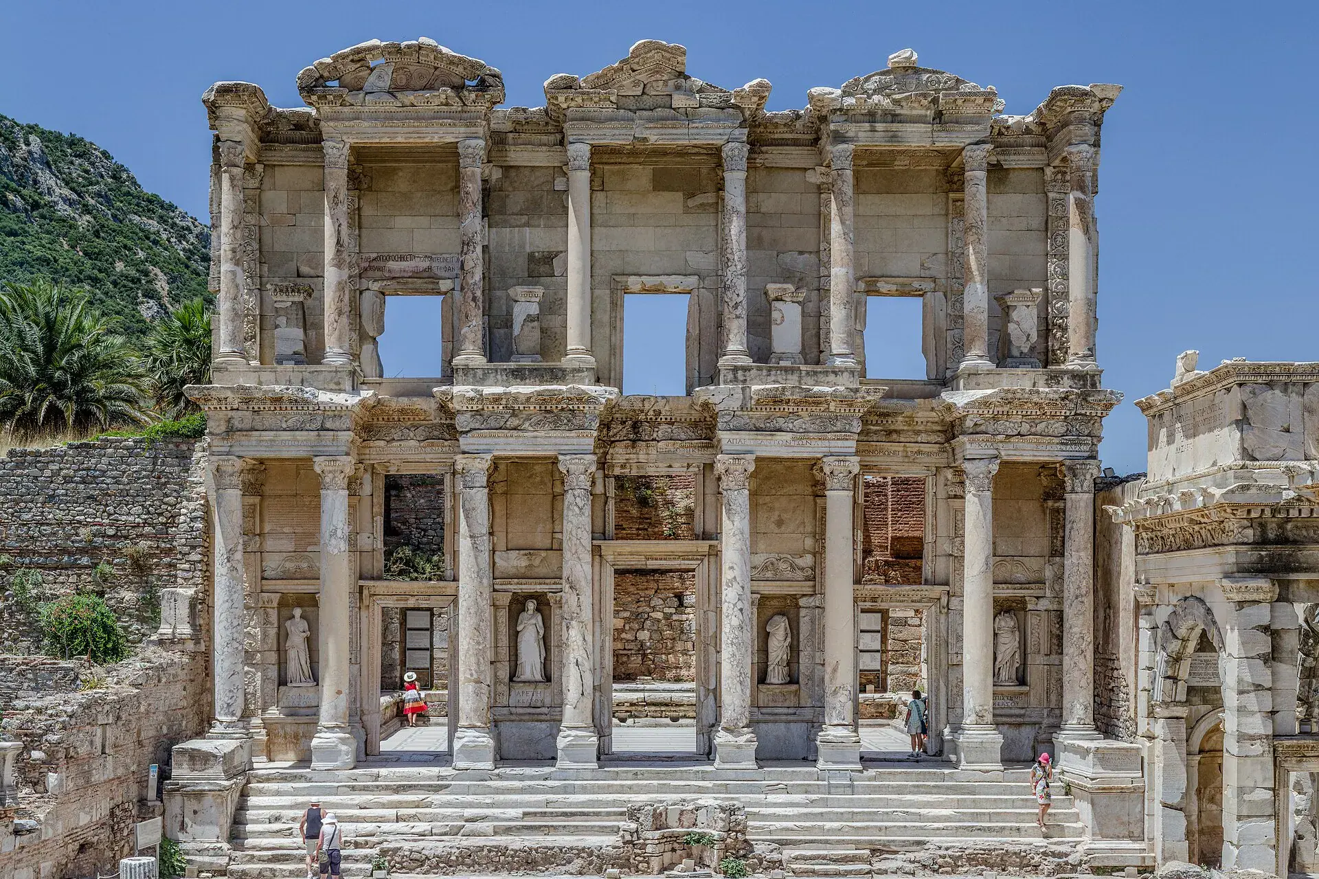
Photo: Benh LIEU SONG · CC BY-SA 3.0

At a glance

Menderes

Menderes is a district of İzmir.

112,853Population
777km²
45Neighbourhoods
3,514Streets
Verify before you travel

This guide covers all 81 provinces, the World Heritage sites, local food, transport, emergency numbers and the small details that make a trip easier. It is written for foreign visitors and built from public records, official indexes and original research.

Opening hours, prices and transport change. Confirm details with the official venue before you go.

Sources: Sources & credits

Administrative boundaries, population and street counts come from public address and OpenStreetMap-derived datasets. Confirm local services with the municipality.

Province

İzmir

İzmir is the Aegean's largest city, with a long waterfront, markets and a relaxed Mediterranean rhythm. Ephesus, Pergamon and the nearby coast are within day-trip distance, while Alaçatı and Çeşme add summer energy.

BirgiBornovaÇandarlıNif DağıDönertaşİnciraltıKemeraltıKaraburun
Neighbourhoods and streets

Neighbourhoods

The list below shows the largest neighbourhoods by street count.

ÇukuraltıMahalle
370 Streets
OrtaMahalle
230 Streets
Gümüldür İnönüMahalle
161 Streets
AhmetbeyliMahalle
157 Streets
Özdere CumhuriyetMahalle
151 Streets
Görece CumhuriyetMahalle
149 Streets
BarbarosMahalle
139 Streets
GölcüklerMahalle
137 Streets
Oğlananası AtatürkMahalle
135 Streets
GazipaşaMahalle
114 Streets
Gümüldür Fevzi ÇakmakMahalle
113 Streets
Tekeli AtatürkMahalle
108 Streets
Tekeli Fevzi ÇakmakMahalle
104 Streets
CüneytbeyMahalle
103 Streets
Gümüldür AtatürkMahalle
98 Streets
KemalpaşaMahalle
98 Streets
KasımpaşaMahalle
83 Streets
HürriyetMahalle
71 Streets

+ 27 Neighbourhoods

Back to the province · İzmir

Use the guide offline
Install this guide on your phone for offline reading.

Install app