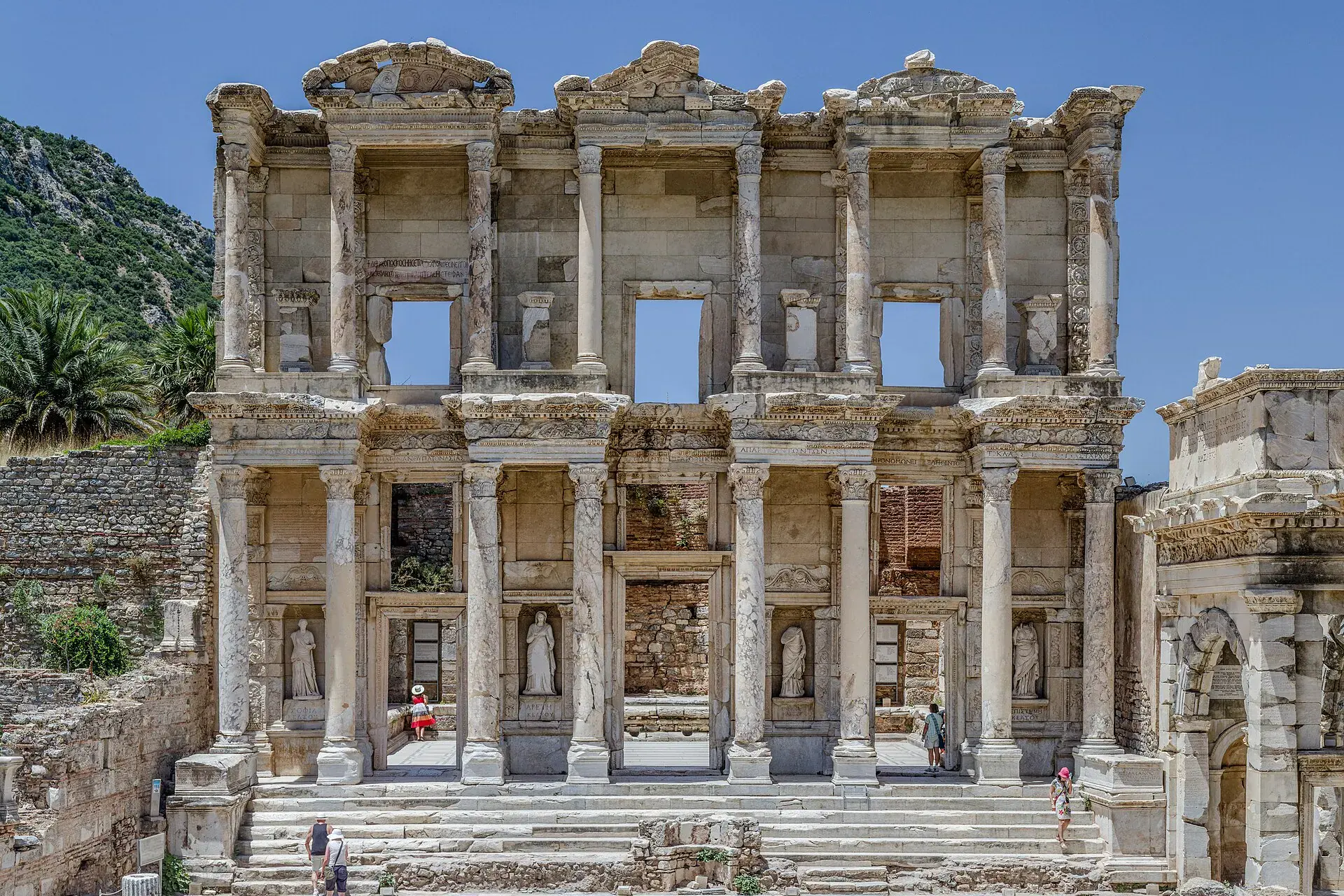
Bergama
Bergama is a district of İzmir.
Bergama
Bergama is a district of İzmir.
Bergama is a municipality and district of İzmir Province, Turkey, and home to the ancient city of Pergamon. The district has an area of 1,544 km2, and a population of 105,754 (2022). While it is not part of the metropolitan area of the capital city İzmir, it is one of the more populous districts of the province, and is 53. 6% urban. Bergama center is situated at a distance of 118 km (73 mi) to the north of the traditional center of İzmir (Konak Square) and 27 km (17 mi) inland from the nearest seacoast, in Dikili. To the north, Bergama shares a border with three districts of Balıkesir Province, Ayvalık, Burhaniye and İvrindi. To the east, it is bordered by the İzmir Province district of Kınık and the Manisa Province district of Soma.
Sources: Wikipedia · Bergama · CC BY-SA 4.0
This guide covers all 81 provinces, the World Heritage sites, local food, transport, emergency numbers and the small details that make a trip easier. It is written for foreign visitors and built from public records, official indexes and original research.
Opening hours, prices and transport change. Confirm details with the official venue before you go.
Sources: Sources & credits
Administrative boundaries, population and street counts come from public address and OpenStreetMap-derived datasets. Confirm local services with the municipality.
İzmir
İzmir is the Aegean's largest city, with a long waterfront, markets and a relaxed Mediterranean rhythm. Ephesus, Pergamon and the nearby coast are within day-trip distance, while Alaçatı and Çeşme add summer energy.
Neighbourhoods
The list below shows the largest neighbourhoods by street count.
+ 120 Neighbourhoods