Kayapınar, Diyarbakır, Türkiye
District guide

Kayapınar

Kayapınar is a district of Diyarbakır.

Province: Diyarbakır 454,311 Population 34 Neighbourhoods

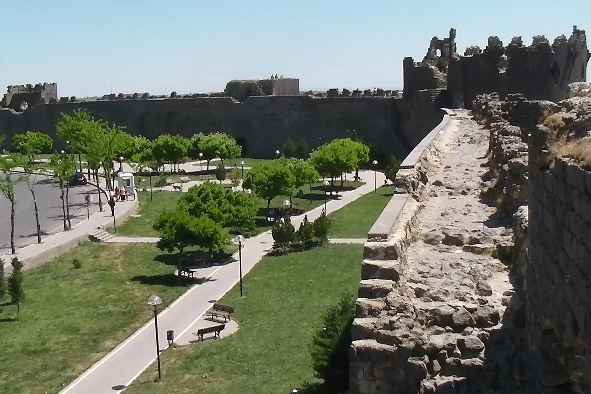
Photo: Brian Dell · Public domain

At a glance

Kayapınar

Kayapınar is a district of Diyarbakır.

454,311Population
480km²
34Neighbourhoods
1,276Streets
Verify before you travel

This guide covers all 81 provinces, the World Heritage sites, local food, transport, emergency numbers and the small details that make a trip easier. It is written for foreign visitors and built from public records, official indexes and original research.

Opening hours, prices and transport change. Confirm details with the official venue before you go.

Sources: Sources & credits

Administrative boundaries, population and street counts come from public address and OpenStreetMap-derived datasets. Confirm local services with the municipality.

Province

Diyarbakır

Diyarbakır's basalt walls, Hevsel Gardens and Tigris riverfront form one of the most distinctive historic landscapes in Türkiye. The city is a major Kurdish cultural centre, with a rich food scene and a long history of crafts and trade.

Gazi KöşküNebi CamiiDicle KöprüsüDeliller HanıHasan Paşa HanıFatih Paşa CamiMalabadi KöprüsüHilar Mağaraları
Neighbourhoods and streets

Neighbourhoods

The list below shows the largest neighbourhoods by street count.

PeyasMahalle
181 Streets
MedyaMahalle
171 Streets
FıratMahalle
151 Streets
BarışMahalle
131 Streets
HuzurevleriMahalle
127 Streets
MezopotamyaMahalle
119 Streets
TalaytepeMahalle
110 Streets
Yolboyu PirinçlikMahalle
101 Streets
DiclekentMahalle
82 Streets
KaldırımMahalle
20 Streets
TosunluMahalle
18 Streets
CücükMahalle
16 Streets
ÇölgüzeliMahalle
9 Streets
GözalanMahalle
7 Streets
GüleçobaMahalle
7 Streets
KırkpınarMahalle
3 Streets
CumhuriyetMahalle
2 Streets
GözegölMahalle
2 Streets

+ 16 Neighbourhoods

Back to the province · Diyarbakır

Use the guide offline
Install this guide on your phone for offline reading.

Install app