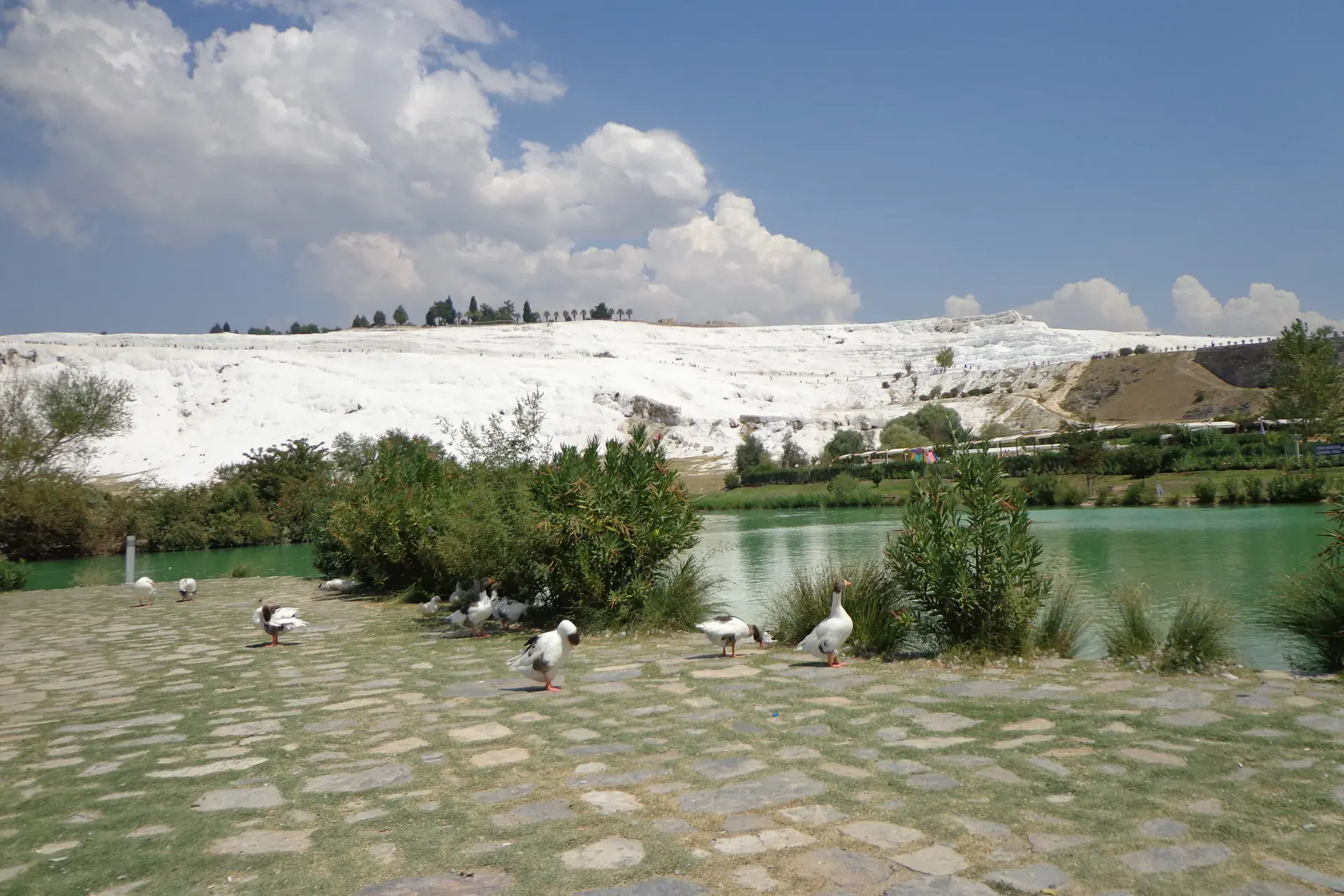
Bozkurt
Bozkurt is a district of Denizli.
Bozkurt
Bozkurt is a district of Denizli.
Bozkurt is a municipality and district of Denizli Province, Turkey. Its area is 462 km2, The town is situated on a plain 52 km (32 mi) east of the city of Denizli. The altitude of the town is 867 m. It is quite close to the Lake Acıgöl and the neighboring town of Çardak and İnceler Kasabası This is high country inland from the Aegean and Mediterranean, and has hot, dry summers and cold, wet winters. During the Russo-Turkish War (1877, 1878) refugees from Bulgaria were settled on the plain, which was then known as Hanabat after a Seljuk Turkish caravanserai that stands within the boundaries of the present-day neighboring district of Çardak. Immigration from Bulgaria continued until recent times. This is an agricultural district, with irrigation systems currently being constructed.
Sources: Wikipedia · Bozkurt, Denizli · CC BY-SA 4.0
This guide covers all 81 provinces, the World Heritage sites, local food, transport, emergency numbers and the small details that make a trip easier. It is written for foreign visitors and built from public records, official indexes and original research.
Opening hours, prices and transport change. Confirm details with the official venue before you go.
Sources: Sources & credits
Administrative boundaries, population and street counts come from public address and OpenStreetMap-derived datasets. Confirm local services with the municipality.
Denizli
Denizli is famous for the white travertines of Pamukkale and the Roman city of Hierapolis above them. Beyond the postcard, the province has textile workshops, thermal springs and a strong local food culture.
Neighbourhoods
The list below shows the largest neighbourhoods by street count.
+ 2 Neighbourhoods