Sungurlu
Sungurlu is a district of Çorum.
Sungurlu
Sungurlu is a district of Çorum.
Sungurlu is a town in Çorum Province in the Black Sea Region of Turkey, located 72 km south-west of the city of Çorum. It is the seat of Sungurlu District. Its population is 30,275 (2022). The mayor is Muhsin Dere (MHP). Sungurlu is on the main road from the Turkish capital Ankara to the Black Sea city of Samsun, and is a popular stop for soup or snacks, including Çorum's famous roasted chick peas (leblebi), when traveling that route by bus. The town consists of 17 quarters: Başpınar, Fevzipaşa, İsmetpaşa, Sunguroğlu, Şekerpınar, Turan, Yenidoğan, Akçay, Bahçelievler, Gürpınar, Hacettepe, Yenihayat, Cevheri, Çiftlik, Akçakent, Fatih and Örnekevler. Many of Turkey's leading socks manufacturers are from Sungurlu. There is a clock tower in the town, built in 1891.
Sources: Wikipedia · Sungurlu · CC BY-SA 4.0
This guide covers all 81 provinces, the World Heritage sites, local food, transport, emergency numbers and the small details that make a trip easier. It is written for foreign visitors and built from public records, official indexes and original research.
Opening hours, prices and transport change. Confirm details with the official venue before you go.
Sources: Sources & credits
Administrative boundaries, population and street counts come from public address and OpenStreetMap-derived datasets. Confirm local services with the municipality.
Çorum
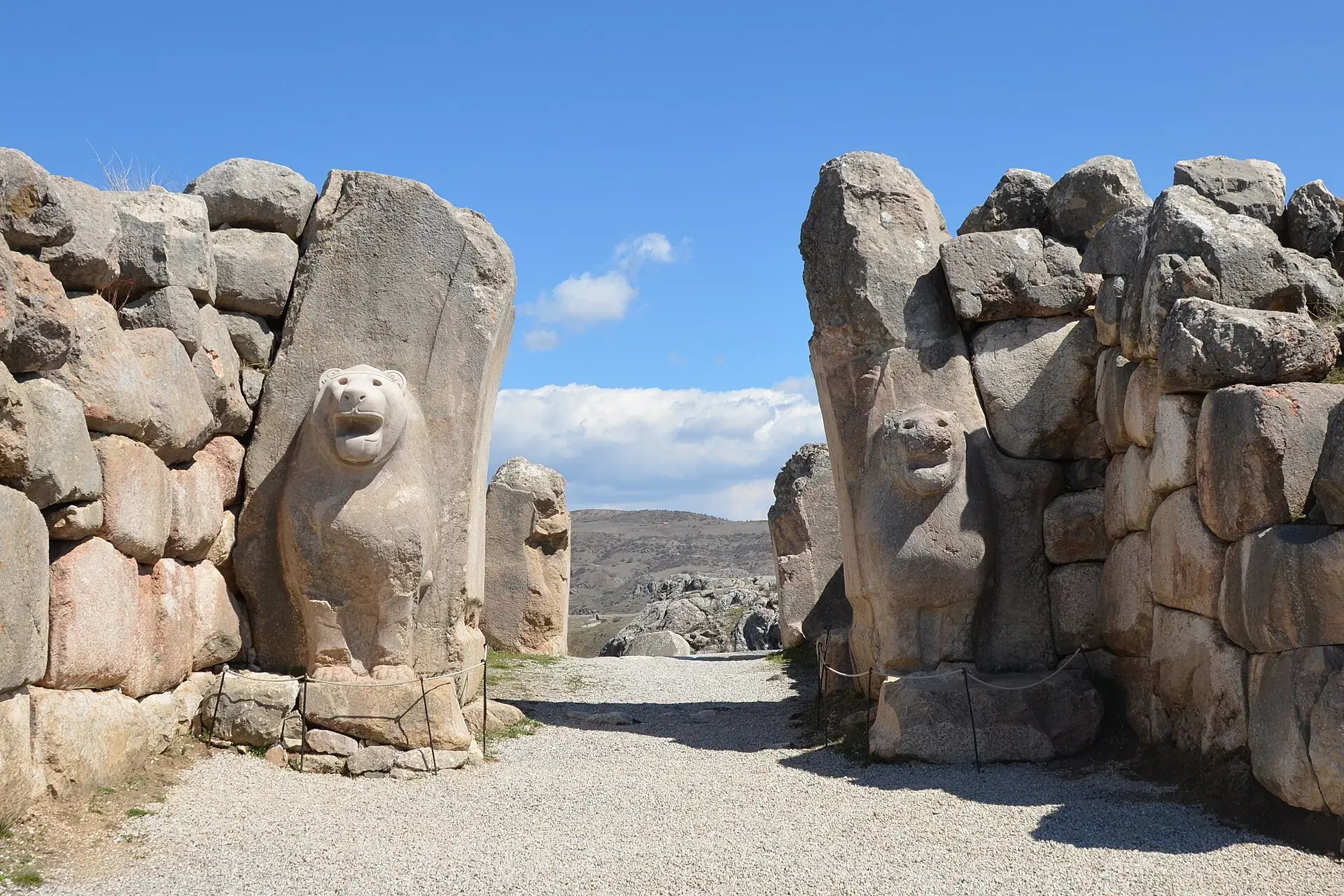
Çorum is the heartland of the Hittite world. Hattuşa, the Hittite capital, and Alacahöyük are the headline sites, while the province also produces leblebi and maintains a strong Anatolian town culture.
Neighbourhoods
The list below shows the largest neighbourhoods by street count.
+ 120 Neighbourhoods