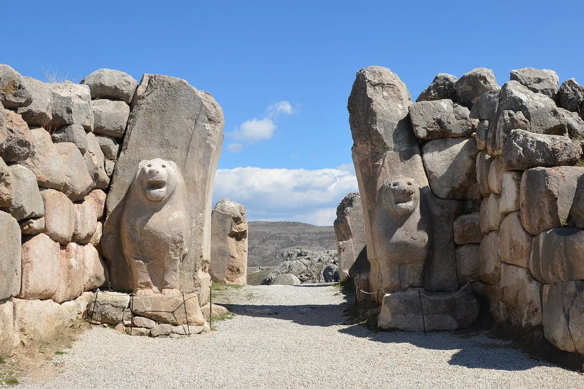
Oğuzlar
Oğuzlar is a district of Çorum.
Oğuzlar
Oğuzlar is a district of Çorum.
Oğuzlar is a town in Çorum Province in the Black Sea region of Turkey. It is located at 68 km from the city of Çorum. It is the seat of Dodurga District. Its population is 2,748 (2022). The mayor is Muzaffer Yıldırım (AKP). The town consists of 7 quarters: Asarçay, Gölbaşı, Birtatlı, Çarşı, Çeşme, Karadonlu and Kızılcapelit. Formerly known as Karabörk Divanı, Karaviran and Karaören, the village was founded in the 13th century by Karadonlu Can Baba, a follower of Sufi mystic Haji Bektash Veli. The name Oğuzlar, after the Oghuz Turks who conquered much of Anatolia, was given in 1990. Oğuzlar is an agricultural district growing walnuts, hazelnuts and various grains. In recent decades the younger generations have migrated to larger cities in search of jobs and careers.
Sources: Wikipedia · Oğuzlar, Çorum · CC BY-SA 4.0
This guide covers all 81 provinces, the World Heritage sites, local food, transport, emergency numbers and the small details that make a trip easier. It is written for foreign visitors and built from public records, official indexes and original research.
Opening hours, prices and transport change. Confirm details with the official venue before you go.
Sources: Sources & credits
Administrative boundaries, population and street counts come from public address and OpenStreetMap-derived datasets. Confirm local services with the municipality.
Çorum
Çorum is the heartland of the Hittite world. Hattuşa, the Hittite capital, and Alacahöyük are the headline sites, while the province also produces leblebi and maintains a strong Anatolian town culture.
Neighbourhoods
The list below shows the largest neighbourhoods by street count.
+ 18 Neighbourhoods