Mecitözü
Mecitözü is a district of Çorum.
Mecitözü
Mecitözü is a district of Çorum.
Mecitözü is a town in Çorum Province in the Black Sea region of Turkey, 37 km from the city of Çorum. It is the seat of Mecitözü District. Its population is 4,036 (2022). The mayor is Veli Aylar (CHP). Mecitözü is situated on a small plain encircled by mountains, with an average annual rainfall of 422. 7 mm. The local economy relies heavily on farming, particularly the cultivation of sugar beets and grains. The town also hosts a flour mill and a brickworks. Mecitözü offers essential services to the surrounding district, including schools, sports facilities, a hospital, and other basic infrastructure. Additionally, there are three health centers located in the countryside. Excavations in the villages of Kuşsaray and Elvançelebi indicate habitation since 5000 BCE.
Sources: Wikipedia · Mecitözü · CC BY-SA 4.0
This guide covers all 81 provinces, the World Heritage sites, local food, transport, emergency numbers and the small details that make a trip easier. It is written for foreign visitors and built from public records, official indexes and original research.
Opening hours, prices and transport change. Confirm details with the official venue before you go.
Sources: Sources & credits
Administrative boundaries, population and street counts come from public address and OpenStreetMap-derived datasets. Confirm local services with the municipality.
Çorum
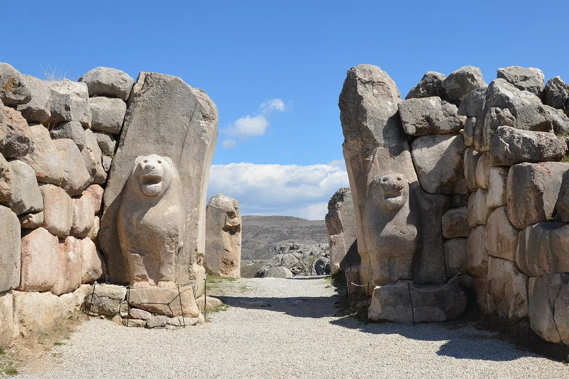
Çorum is the heartland of the Hittite world. Hattuşa, the Hittite capital, and Alacahöyük are the headline sites, while the province also produces leblebi and maintains a strong Anatolian town culture.
Neighbourhoods
The list below shows the largest neighbourhoods by street count.
+ 52 Neighbourhoods