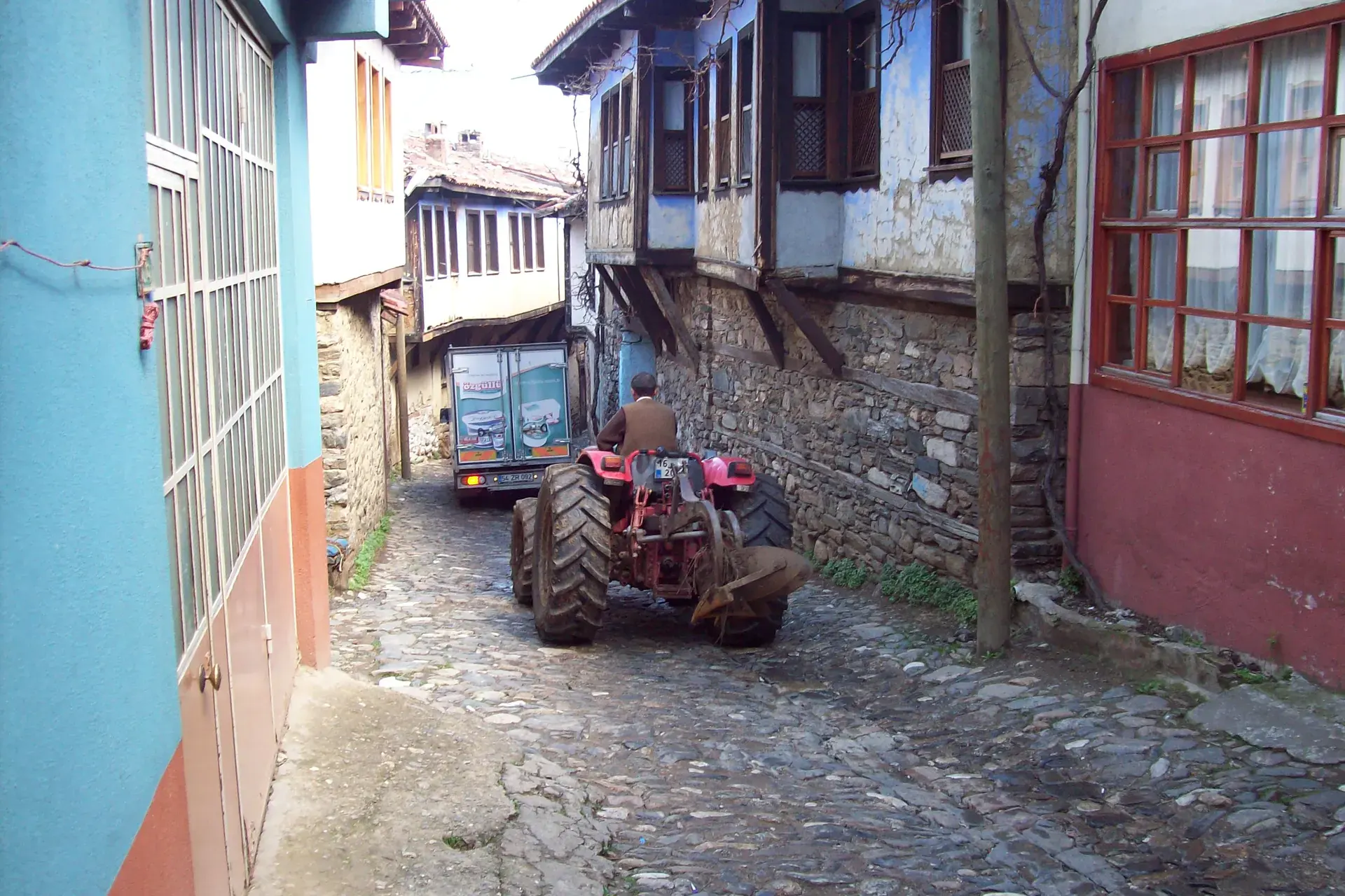
Karacabey
Karacabey is a district of Bursa.
Karacabey
Karacabey is a district of Bursa.
Karacabey is a municipality and district of Bursa Province, Turkey. Its area is 1,158 km2, and its population is 84,907 (2022). It is located just west of the Simav River near its confluence with the Adirnaz River. The district of Karacabey borders the districts of Mudanya and Nilüfer from east, Mustafakemalpaşa and Susurluk from south, Manyas from southwest and Bandırma from west. It is sited on the ancient town of Miletopolis. Karacabey is an industrial area as well as an agricultural one. It is known as the plantation area of a special variety of onions. There are many famous food factories around Karacabey such as Nestle and many varieties of vegetables and fruits are planted in Karacabey. There is a nearby lake called Uluabat. The Marmara Sea is 32 km to the north.
Sources: Wikipedia · Karacabey · CC BY-SA 4.0
This guide covers all 81 provinces, the World Heritage sites, local food, transport, emergency numbers and the small details that make a trip easier. It is written for foreign visitors and built from public records, official indexes and original research.
Opening hours, prices and transport change. Confirm details with the official venue before you go.
Sources: Sources & credits
Administrative boundaries, population and street counts come from public address and OpenStreetMap-derived datasets. Confirm local services with the municipality.
Bursa
Bursa was the first Ottoman capital and remains a city of mosques, covered bazaars and thermal springs. Uludağ rises behind it, Cumalıkızık preserves an Ottoman village, and İskender kebab and candied chestnuts are local signatures.
Neighbourhoods
The list below shows the largest neighbourhoods by street count.
+ 67 Neighbourhoods