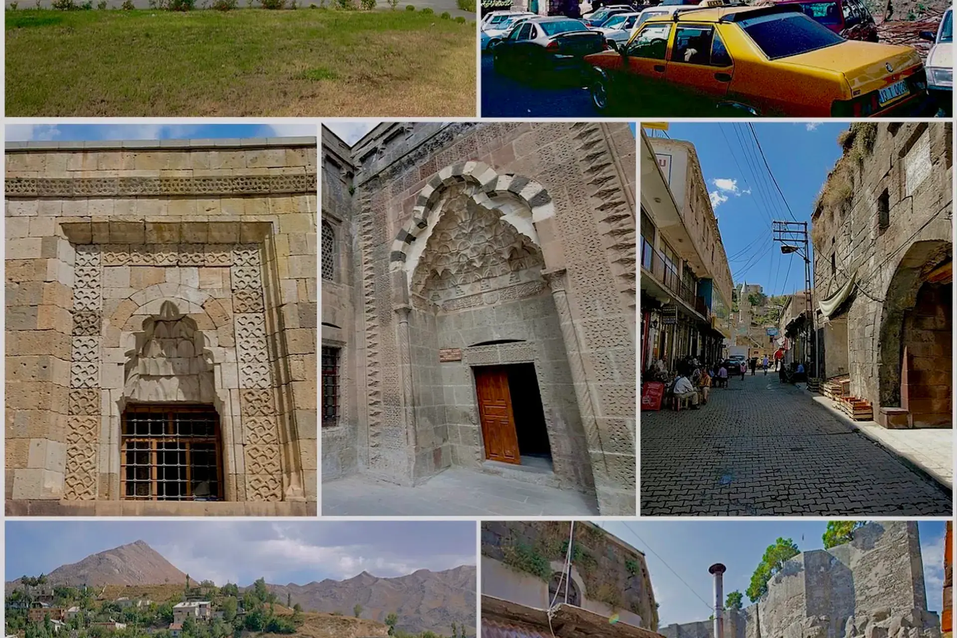
Merkez, Bitlis, Türkiye
District guide

Merkez

Merkez is a district of Bitlis.

Province: Bitlis 74,904 Population 22 Neighbourhoods

Photo: See above · CC BY-SA 4.0

At a glance

Merkez

Merkez is a district of Bitlis.

74,904Population
1,064km²
22Neighbourhoods
780Streets
Verify before you travel

This guide covers all 81 provinces, the World Heritage sites, local food, transport, emergency numbers and the small details that make a trip easier. It is written for foreign visitors and built from public records, official indexes and original research.

Opening hours, prices and transport change. Confirm details with the official venue before you go.

Sources: Sources & credits

Administrative boundaries, population and street counts come from public address and OpenStreetMap-derived datasets. Confirm local services with the municipality.

Province

Bitlis

Bitlis sits between Lake Van and the mountains of eastern Anatolia. Ahlat's Seljuk tombs, the Bitlis castle and the crater lake of Nemrut are the main landmarks, while the province keeps a strong Kurdish and Ottoman heritage.

Ahlat MüzesiBitlis KalesiTatvan KalesiKureyşi CamiiŞerefiye CamiiGökmeydan CamiiÇifte KümbetlerKadı Mahmut Camii
Neighbourhoods and streets

Neighbourhoods

The list below shows the largest neighbourhoods by street count.

Beş MinareMahalle
100 Streets
Gazi BeyMahalle
59 Streets
Sekiz AğustosMahalle
56 Streets
HersanMahalle
53 Streets
Hüsrev PaşaMahalle
52 Streets
TaşMahalle
45 Streets
İnönüMahalle
40 Streets
ZeydanMahalle
37 Streets
AtatürkMahalle
35 Streets
YükselişMahalle
35 Streets
SarayMahalle
31 Streets
MuştakbabaMahalle
28 Streets
Şemsi BitlisMahalle
25 Streets
DüzMahalle
14 Streets
Üç KardeşMahalle
9 Streets
YeniMahalle
9 Streets
KonaçMahalle
8 Streets
PınarbaşıMahalle
7 Streets

+ 110 Neighbourhoods

Back to the province · Bitlis

Use the guide offline
Install this guide on your phone for offline reading.

Install app