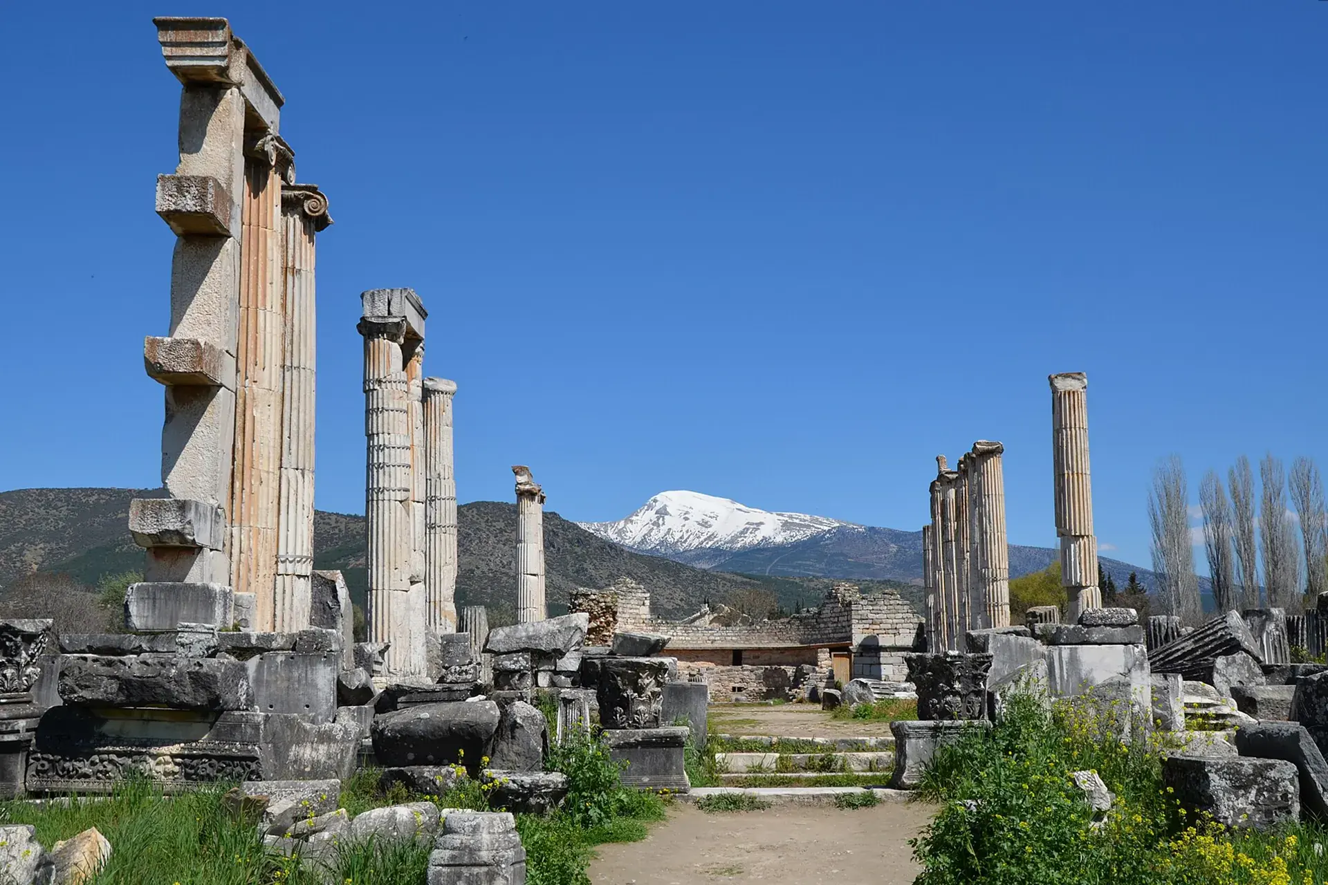
Nazilli, Aydın, Türkiye
District guide

Nazilli

Nazilli is a district of Aydın.

Province: Aydın 162,156 Population 83 Neighbourhoods

Photo: Carole Raddato from FRANKFURT, Germany · CC BY-SA 2.0

At a glance

Nazilli

Nazilli is a district of Aydın.

162,156Population
691km²
83Neighbourhoods
3,377Streets
Verify before you travel

This guide covers all 81 provinces, the World Heritage sites, local food, transport, emergency numbers and the small details that make a trip easier. It is written for foreign visitors and built from public records, official indexes and original research.

Opening hours, prices and transport change. Confirm details with the official venue before you go.

Sources: Sources & credits

Administrative boundaries, population and street counts come from public address and OpenStreetMap-derived datasets. Confirm local services with the municipality.

Province

Aydın

Aydın is an Aegean province of figs, olives and ancient cities. Aphrodisias, Didyma and Miletus sit within its borders, while Kuşadası and the Dilek peninsula provide a coastal counterpoint to the inland valleys.

NysaAlindaZincirli HanMilet MüzesiZeus MağarasıCincin KalesiÇavuş KöprüsüKaleiçi Camii
Neighbourhoods and streets

Neighbourhoods

The list below shows the largest neighbourhoods by street count.

YeşilMahalle
207 Streets
İsabeyliMahalle
192 Streets
YıldıztepeMahalle
190 Streets
ZaferMahalle
127 Streets
ArslanlıMahalle
114 Streets
DallıcaMahalle
112 Streets
SümerMahalle
112 Streets
Yeni SanayiiMahalle
101 Streets
Prof.Muammer AksoyMahalle
98 Streets
PınarbaşıMahalle
95 Streets
YeniMahalle
94 Streets
ÇapahasanMahalle
80 Streets
YeşilyurtMahalle
77 Streets
BozyurtMahalle
74 Streets
KaraçayMahalle
69 Streets
ŞirinevlerMahalle
62 Streets
EsenköyMahalle
60 Streets
CumhuriyetMahalle
57 Streets

+ 65 Neighbourhoods

Back to the province · Aydın

Use the guide offline
Install this guide on your phone for offline reading.

Install app