Karpuzlu
Karpuzlu is a district of Aydın.
Karpuzlu
Karpuzlu is a district of Aydın.
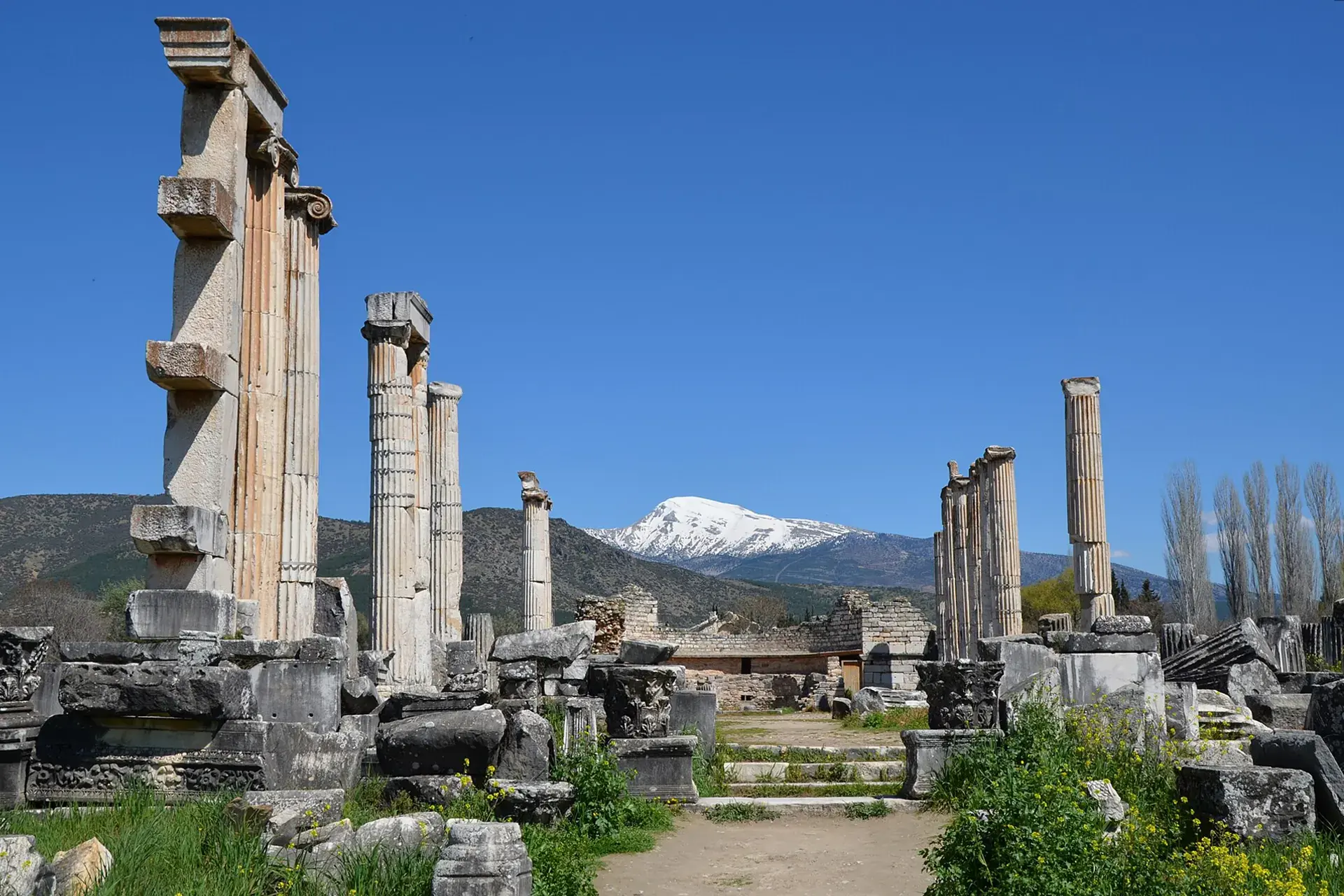
Karpuzlu (Turkish: [kaɾˈpuzɫu]) is a municipality and district of Aydın Province, Turkey. Its area is 286 km2, and its population is 10,590 (2022). It is 56 km (35 mi) from the city of Aydın. It became a district centre after separation from Çine in 1990. Karpuzlu is reached by turning off the road from Aydın to Çine. There is infrequent public transport (by minibus) from both towns to Karpuzlu, which can also be reached by the mountain road from Bodrum or Milas. This latter route is popular with tourists on "jeep safaris" coming to see the ruins of Alinda. The town is partially situated on the slopes of a hill on the top of which can be seen the well-preserved ruins of the ancient acropolis of Alinda.
Sources: Wikipedia · Karpuzlu · CC BY-SA 4.0
This guide covers all 81 provinces, the World Heritage sites, local food, transport, emergency numbers and the small details that make a trip easier. It is written for foreign visitors and built from public records, official indexes and original research.
Opening hours, prices and transport change. Confirm details with the official venue before you go.
Sources: Sources & credits
Administrative boundaries, population and street counts come from public address and OpenStreetMap-derived datasets. Confirm local services with the municipality.
Aydın
Aydın is an Aegean province of figs, olives and ancient cities. Aphrodisias, Didyma and Miletus sit within its borders, while Kuşadası and the Dilek peninsula provide a coastal counterpoint to the inland valleys.
Neighbourhoods
The list below shows the largest neighbourhoods by street count.
+ 5 Neighbourhoods