Konyaaltı
Konyaaltı is a district of Antalya.
Konyaaltı
Konyaaltı is a district of Antalya.
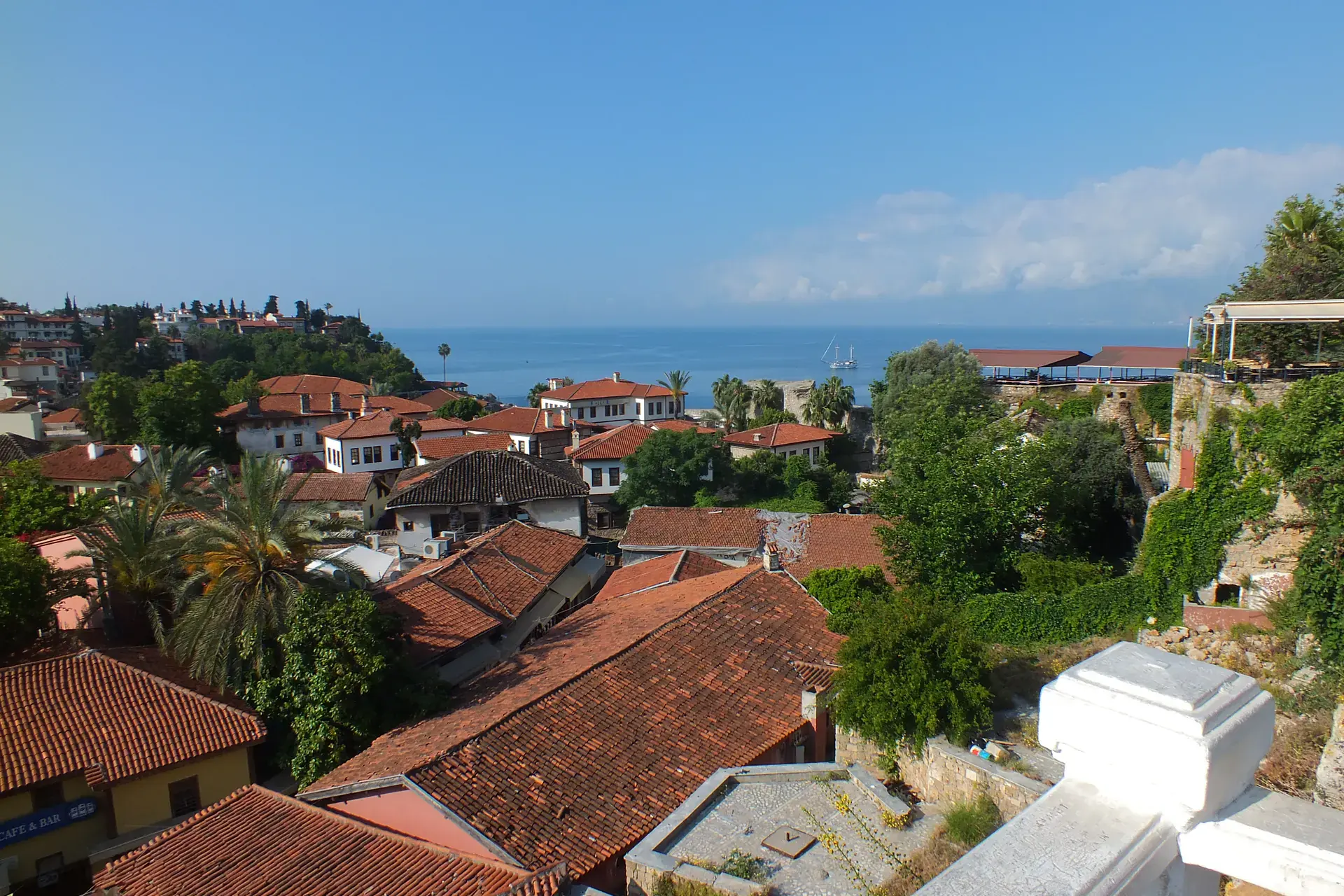
Konyaaltı is a municipality and district of Antalya Province, Turkey. Its area is 546 km2, and its population is 204,795 (2022). The name "Konyaaltı" (pronounced [konja. aɫtɯ]), originates from the expression of "koy altı", which in the Turkish language means "the bay under the cliffs". The district is situated beneath the cliffs of Antalya, and extends miles toward the west towards the mountains, with various kinds of beaches including sand and shingle. The water is a little cooler compared to other beaches in Antalya because of an underground creek flowing to the sea. There are modern underground facilities for aesthetic reasons. Transport is easy by means of buses. Destinations are reachable by foot as well but might be time-consuming.
Sources: Wikipedia · Konyaaltı · CC BY-SA 4.0
This guide covers all 81 provinces, the World Heritage sites, local food, transport, emergency numbers and the small details that make a trip easier. It is written for foreign visitors and built from public records, official indexes and original research.
Opening hours, prices and transport change. Confirm details with the official venue before you go.
Sources: Sources & credits
Administrative boundaries, population and street counts come from public address and OpenStreetMap-derived datasets. Confirm local services with the municipality.
Antalya
Antalya combines a working Mediterranean city with a coastline of beaches, cliffs and ancient harbours. Kaleiçi, Hadrian's Gate, the waterfalls and the nearby Roman cities of Perge and Aspendos make it a natural base for the Turquoise Coast.
Neighbourhoods
The list below shows the largest neighbourhoods by street count.
+ 22 Neighbourhoods